Oakley Corners North Loop
This loop utilizes the more hilly side of Oakley Corners State Forest near Owego. There are multiple different loop opportunities here and they can be easily combined for a longer route. This route follows the loop made by the Blue #1 and Blue #2 trails, located in the northeastern side of the forest. See the Oakley Corners State Forest Map for more details.
Map of the Oakley Corners North Loop
You can navigate on this route using the downloadable AllTrails map.
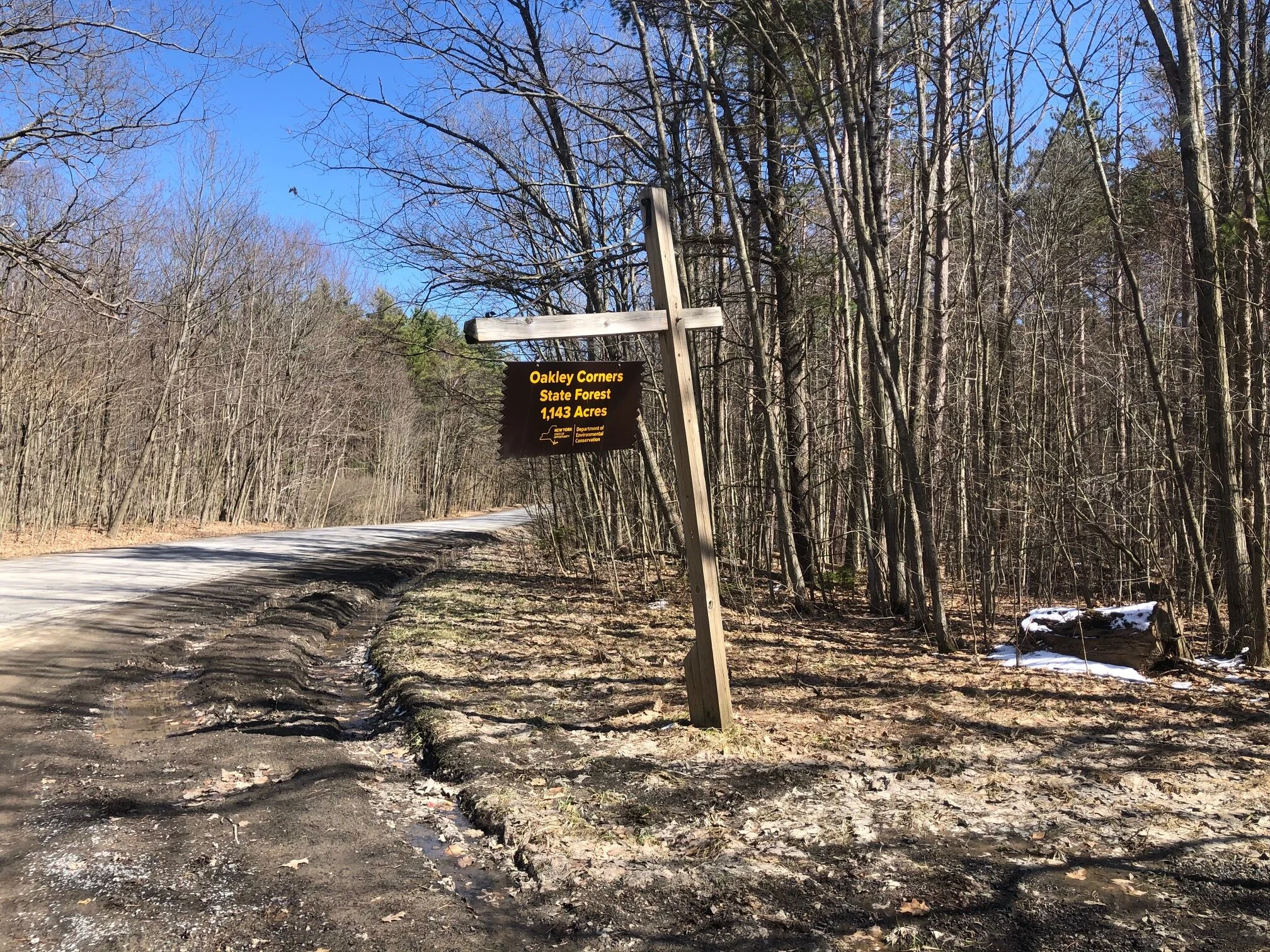
The trailhead for this loop is located at the corner of Hullsville Road and Dutchtown Road near Owego. There is ample pull-off parking here. The GPS coordinates are 42.17463, -76.15641. There is a large State Forest sign at the trailhead.
From the trailhead (1530’), a yellow-marked trail goes south into the forest. Instead of following that trail, head down the dirt road on the other side of Dutchtown Road. Almost immediately after the road crossing, a trail goes left into the forest. Follow this trail.
This is the Blue #1 trail and is marked as such with DEC disks on trees. This trail continues for 0.8 miles on mostly level terrain before looping back and crossing the dirt road again. Alternatively, you could skip this section by skipping the first portion of Blue #1 altogether and just taking the dirt road to the second intersection with the trail. Continuing on the Blue #1 trail, you will descend a bit before arriving at a junction with the Blue #2 trail at 1.0 miles from the trailhead (1395’). This is the beginning of the loop section of the hike. For now, continue straight on Blue #1. Shortly after the junction, Blue #1 terminates at another intersection. Blue #3 continues on the left and Blue #2 is on the right. Turn right to follow the Blue #2 trail.
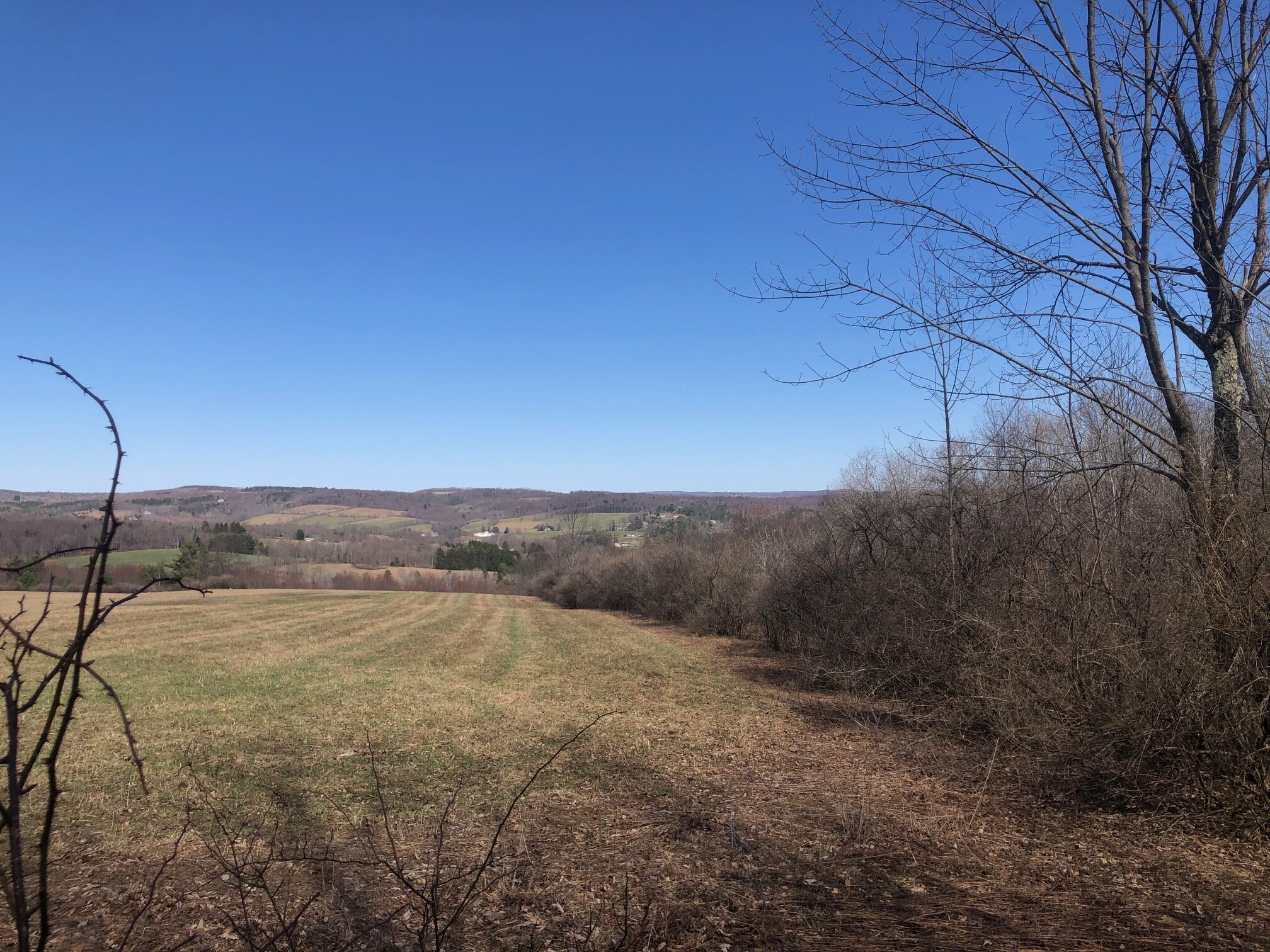
The trail continues to steeply descend another 150 feet before crossing a stream. It starts to climb the hill again at an easy grade, before getting steeper 0.3 miles later. There is a reward for the climbing, however. At 1.7 miles (1420’), a field view opens up on the left with nice views to the north and east.
The trail now starts a more steady descent, eventually crossing the stream from earlier in the loop. At 2.4 miles, the Blue #2 trail loops back to the Blue #1 trail. Turn left and follow the Blue #1 trail uphill, eventually crossing the dirt road again and looping back to the trailhead 0.8 miles later. Total distance for this hike: 3.4 miles with 605 feet of elevation gain.

