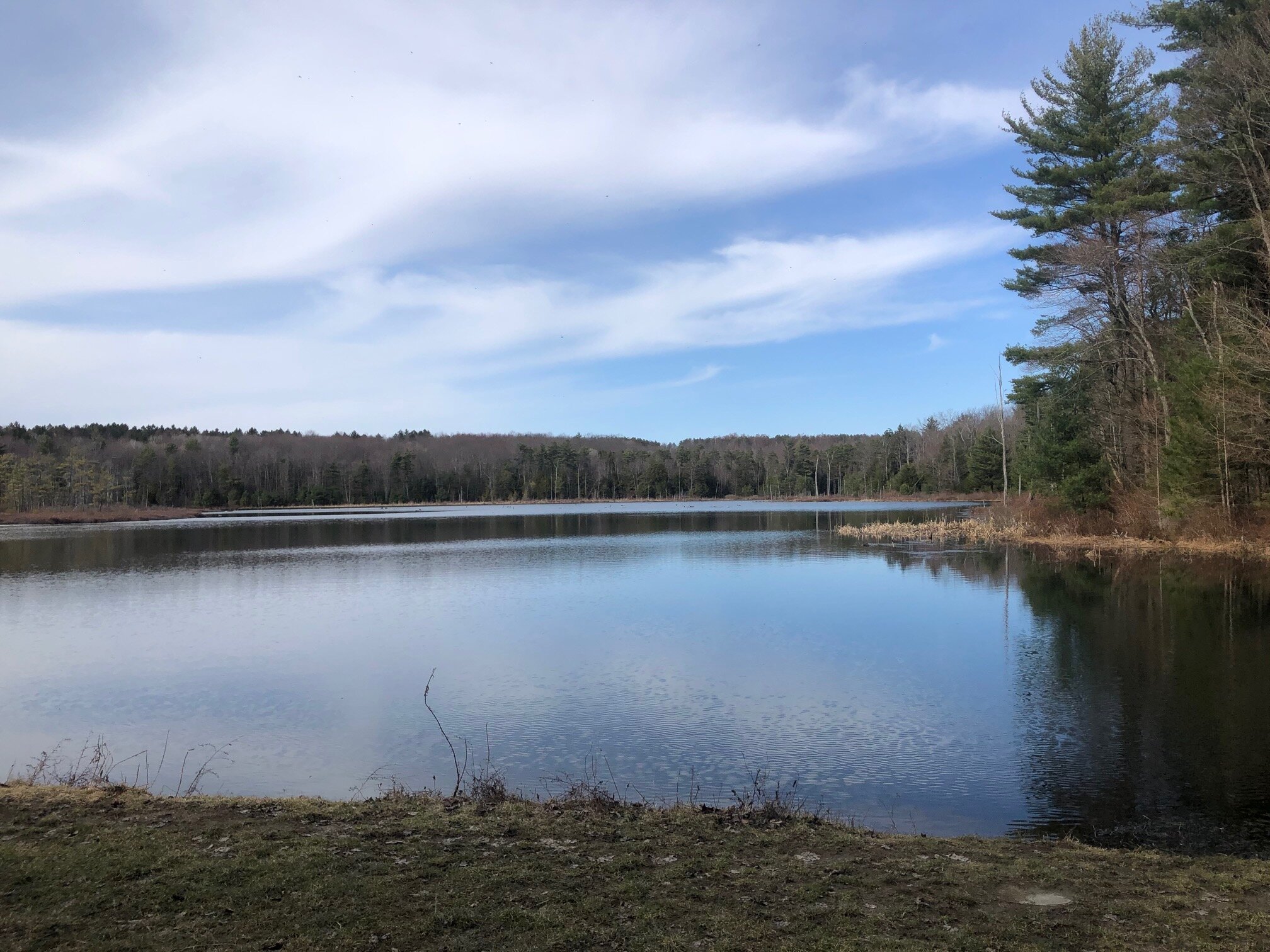
Oakley Corners South Loop
This loop takes hikers through a gorgeous section of Oakley Corners State Forest. With a scenic pond, wild forests, and smooth trails, this hike offers people of all fitness levels an opportunity to enjoy a wilderness experience close to Binghamton and the Route 17 corridor. The route here is merely a suggestion, there are plenty of other loop options that are just as nice as this one.
Map of the Oakley Corners South Loop
You can navigate on this route with the downloadable AllTrails map.
The trailhead for this hike is located at the parking area on Hullsville Road, just south of the intersection with Dutchtown Road. The GPS coordinates are 42.16891, -76.16174. From the trailhead (1465’), follow the Yellow #1 trail north, which parallels both the road and the shore of the nearby pond. The trails in this state forest are marked with DEC disks that designate both a color and number to each trail. Continue following this trail for 0.5 miles, until it reaches another parking area at the intersection of Hullsville Road and Dutchtown Road.
From here, turn right and follow the trail that parallels Dutchtown Road, which is still Yellow #1. The trail continues to parallel the road for a bit before veering away from it, running next to a house. The terrain is still mostly level and the trail is nice and wide. At 1.2 miles from the trailhead, the trail arrives at an intersection with the Yellow #2 trail (1490’). Take the left side of the intersection and follow the Yellow #2 markers.
This trail travels through an isolated section of the forest and features some interesting sections of coniferous forest. After this scenic detour away from the main trail, the Yellow #2 trail ends at a T-intersection with the Yellow #6 trail at 2.3 miles.
Turn left on the Yellow #6 trail and follow it for 0.2 miles until another T-intersection with the Yellow #7 trail. Turn right and follow the Yellow #7 trail, which parallels a nice stream with a few places to sit down and rest. At 2.9 miles, the Yellow #7 trail comes to an intersection with the main trail, Yellow #1, next to the big pond. There is a nice lookout to the water from here.
Turn left onto the Yellow #1 trail. It heads uphill for a short time before passing some primitive campsites and other yellow-marked trails on the left. The trail continues to follow the pond’s shoreline, eventually ending at the Hullsville Road trailhead 0.4 miles from the junction with Yellow #7. Total distance for this hike: 3.3 miles with 285 feet of elevation gain.


