Bell Station Preserve
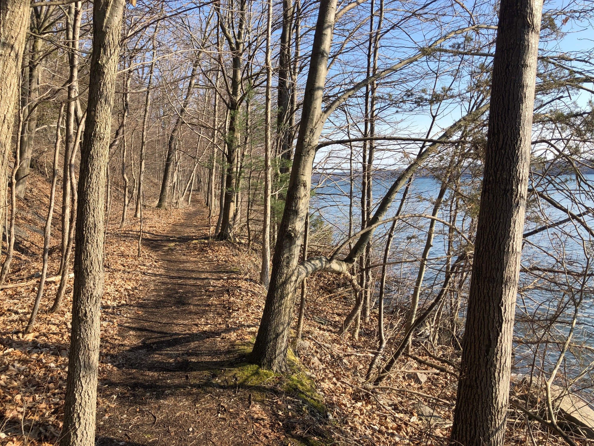
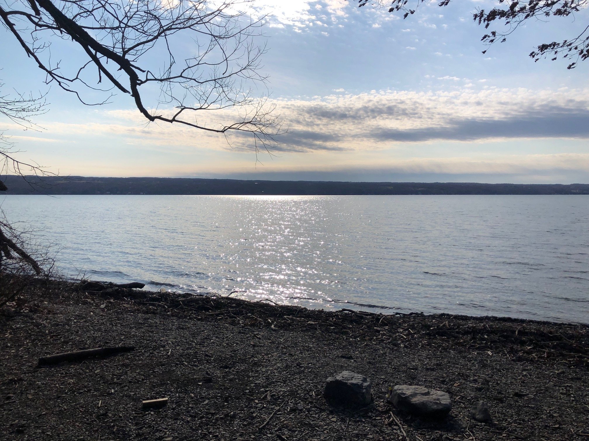
This preserve, managed by the Finger Lakes Land Trust and the NYSDEC, has both stunning lake views and a unique history behind it. Before its creation, the land was slated to be used for a nuclear power plant, leading to FLLT purchasing the property from NYSEG. Now, the preserve includes a few miles of unmarked trails that provide nice views of Cayuga Lake and some tributaries.
Map of the Bell Station trails
You can navigate on this route using the downloadable AllTrails map, linked here.
The starting point at this hike is located on Nut Ridge Road, approximately 1 mile west of the intersection with Lake Ridge Road (CR 185) in Lansing. Although the actual trailhead is marked with a snowplow/bus turnaround sign, there is parking available on the shoulder of the road. The GPS coordinates are 42.6198, -76.64164
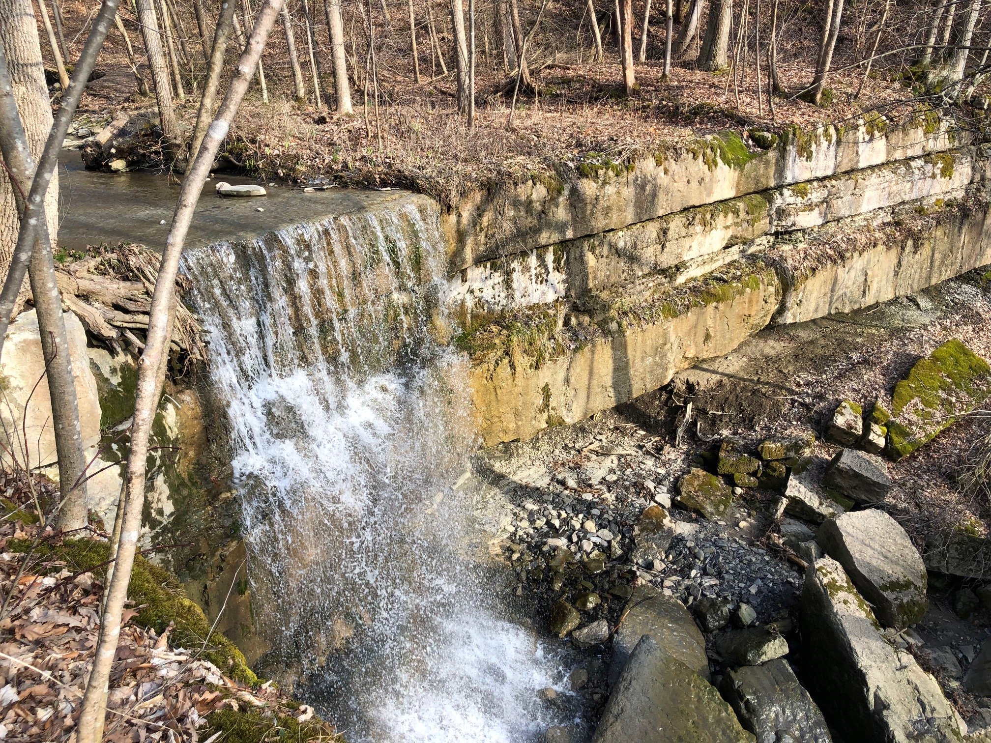
From the trailhead (470’), follow the trail as it passes a sign with a map of the preserve. Shortly after, you will arrive at the first intersection. Despite none of the trails being marked, it is usually obvious when a trail approaches a junction. Taking the left side will lead to a waterfall, as well as a trail along the rim of a gorge. Turning right will lead you down to the shore of Cayuga Lake. For now, take the right side of the fork.
The first trail junction of the hike
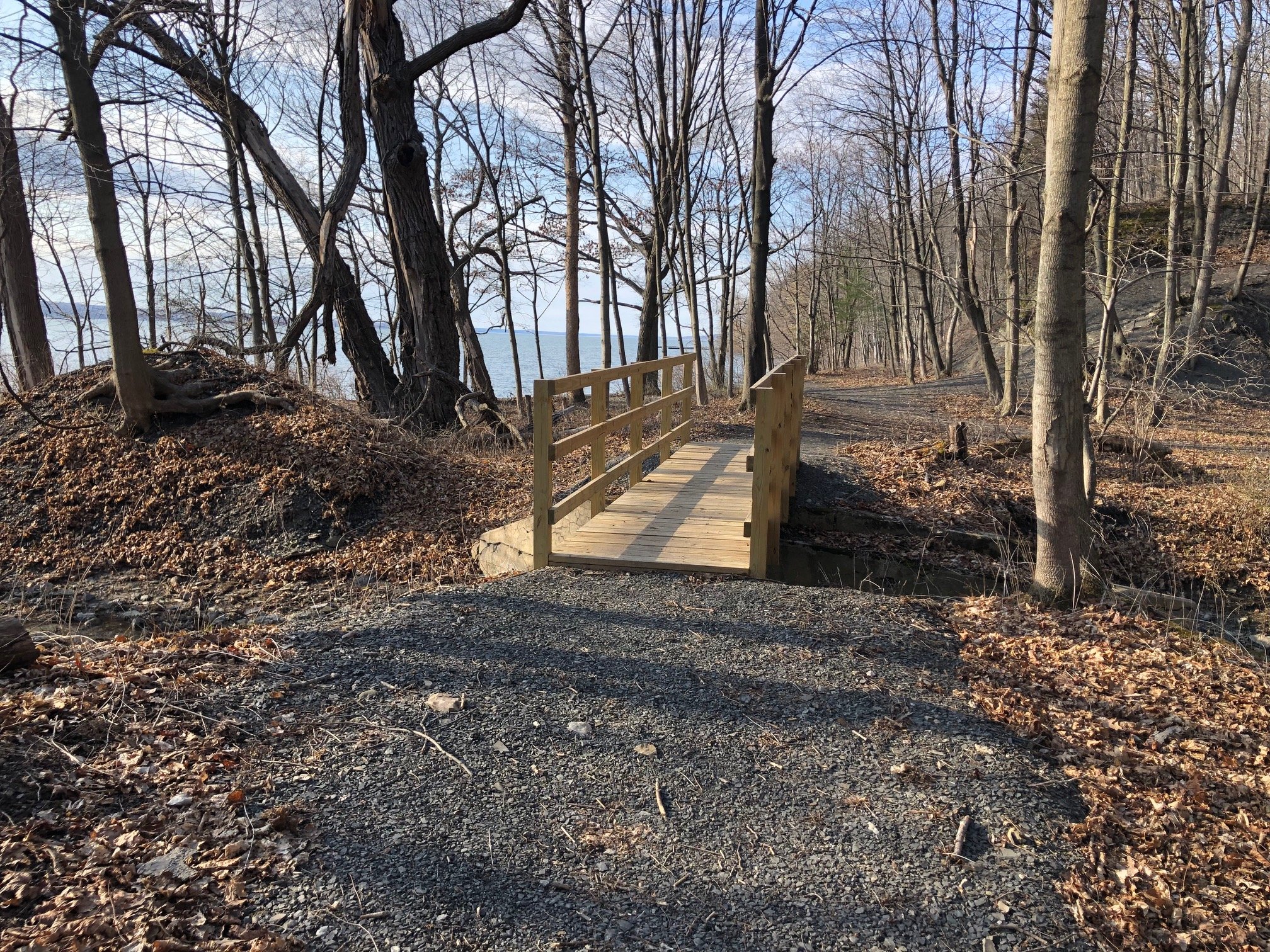
From here, the trail descends moderately into a glen, and follows the stream to the lakeshore. There is another trail junction here: turn left and cross the bridge, walking parallel to the lake (383’).
This next section of trail parallels the lake for a bit, but reaches a dead end at 0.6 miles from the trailhead. Turn around and retrace your steps to the bridge. You can now either continue on the trail from earlier, heading uphill (away from the lake), but a more scenic route is offered by continuing straight, keeping the lake on your left. By doing so, you will pass by an open stretch of shoreline before making the climb back up to the first junction.
If you’ve followed these instructions thus far, you should now be at the initial intersection near the trailhead. To continue the route, turn right. Almost immediately, there will be another intersection. The suggested route will turn left, but for a short side trip, use the right side of the fork. This trail will lead to the top of a pretty cool-looking waterfall. After taking in the views, retrace your steps and take the other side of the fork uphill.
Follow this trail for approximately 0.4 miles, running parallel to the gorge, until a dead end is reached (625’). Retrace your steps back to the first junction, then turn right and follow the trail back to the parking area. Total distance for this hike: 2.2 miles with 260’ elevation gain.


