Finger Lakes Trail: Eberhard Nature Preserve
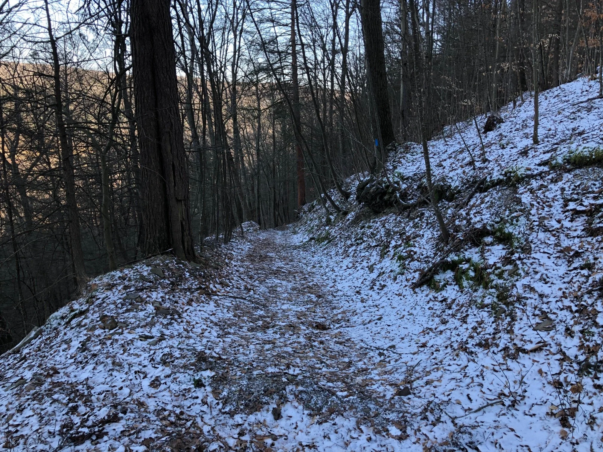
This brand-new section of the Finger Lakes Trail climbs a steep hillside of Brooktondale’s long valley, rerouted from the former Eastman Hill route. Despite being a short climb of 0.5 miles, the trail climbs over 500 feet during its ascent, making it one of the steepest hikes on this site. There are multiple loop opportunities with the various spur trails here. The route suggested is the longest of these loops.
Map of the Eberhard Preserve Loop
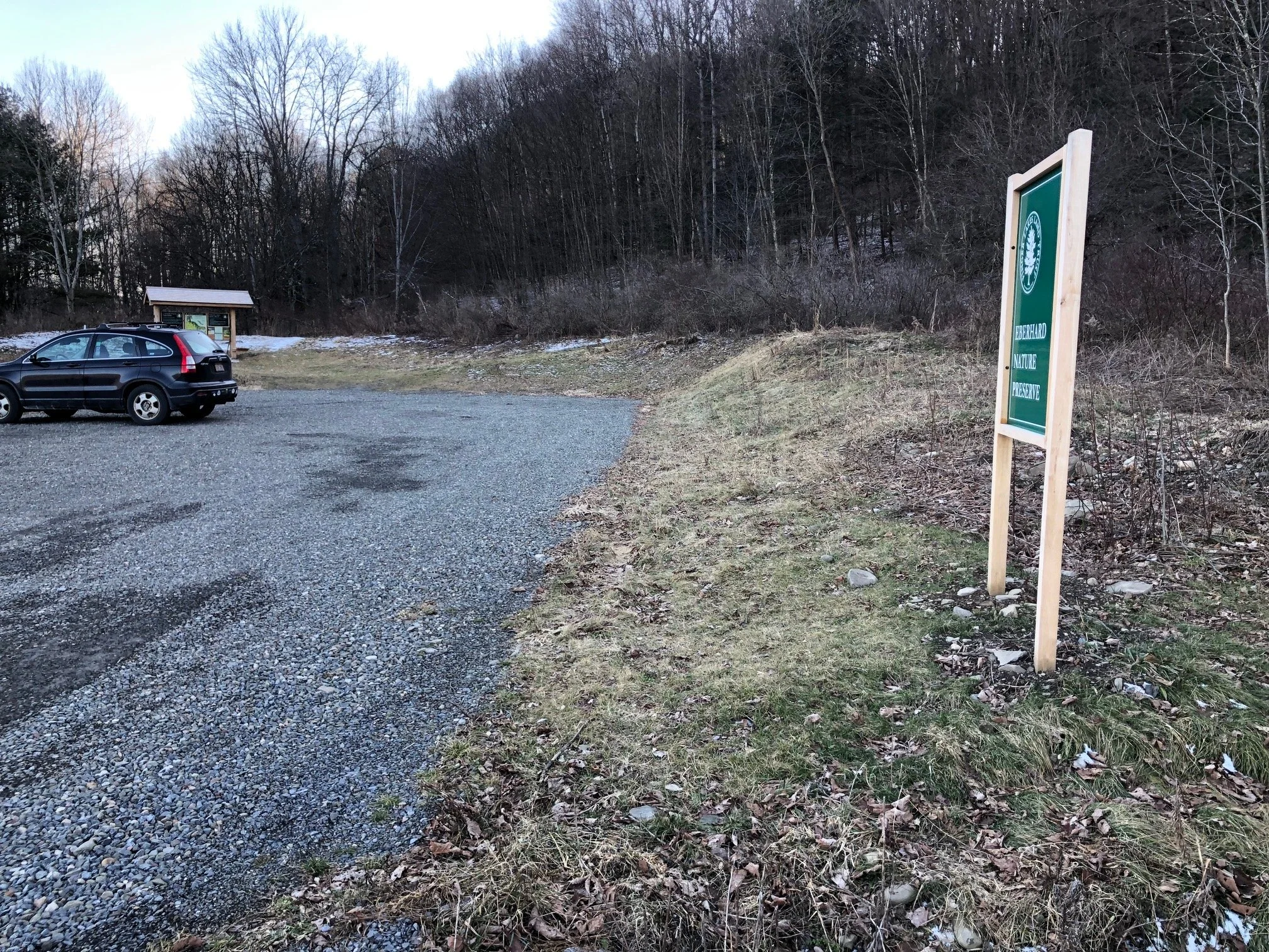
The trailhead for this hike is located at the FLLT parking area on Coddington Road, about 5 miles south of Brooktondale and 7 miles north of Candor. The GPS coordinates are 42.3202651, -76.3805211.
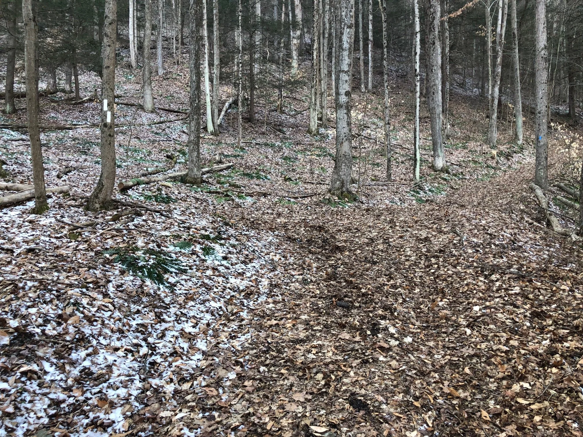
From the trailhead (1055’), follow the white-blazed Finger Lakes/North Country Trail to the right side of the kiosk, heading toward the hill. After passing the kiosk, the trail arrives at a fork with the blue-blazed spur trail. For now, turn left and follow the FLT uphill.
The first 0.5 miles of the ascent is quite steep, despite the switchbacks. This loop could be potentially dangerous in icy conditions, so be sure to hike responsibly and use your best judgement. As the trail ascends, it passes more spur trails that connect back to the aforementioned blue trail in case you’d prefer a shorter loop. If you choose to follow this walkthrough, stay to the left of each of the junctions and follow the white blazes.
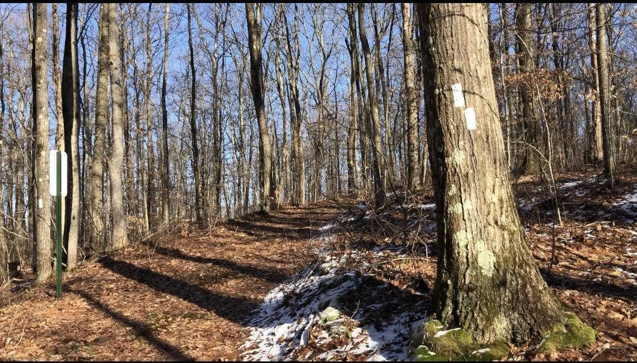
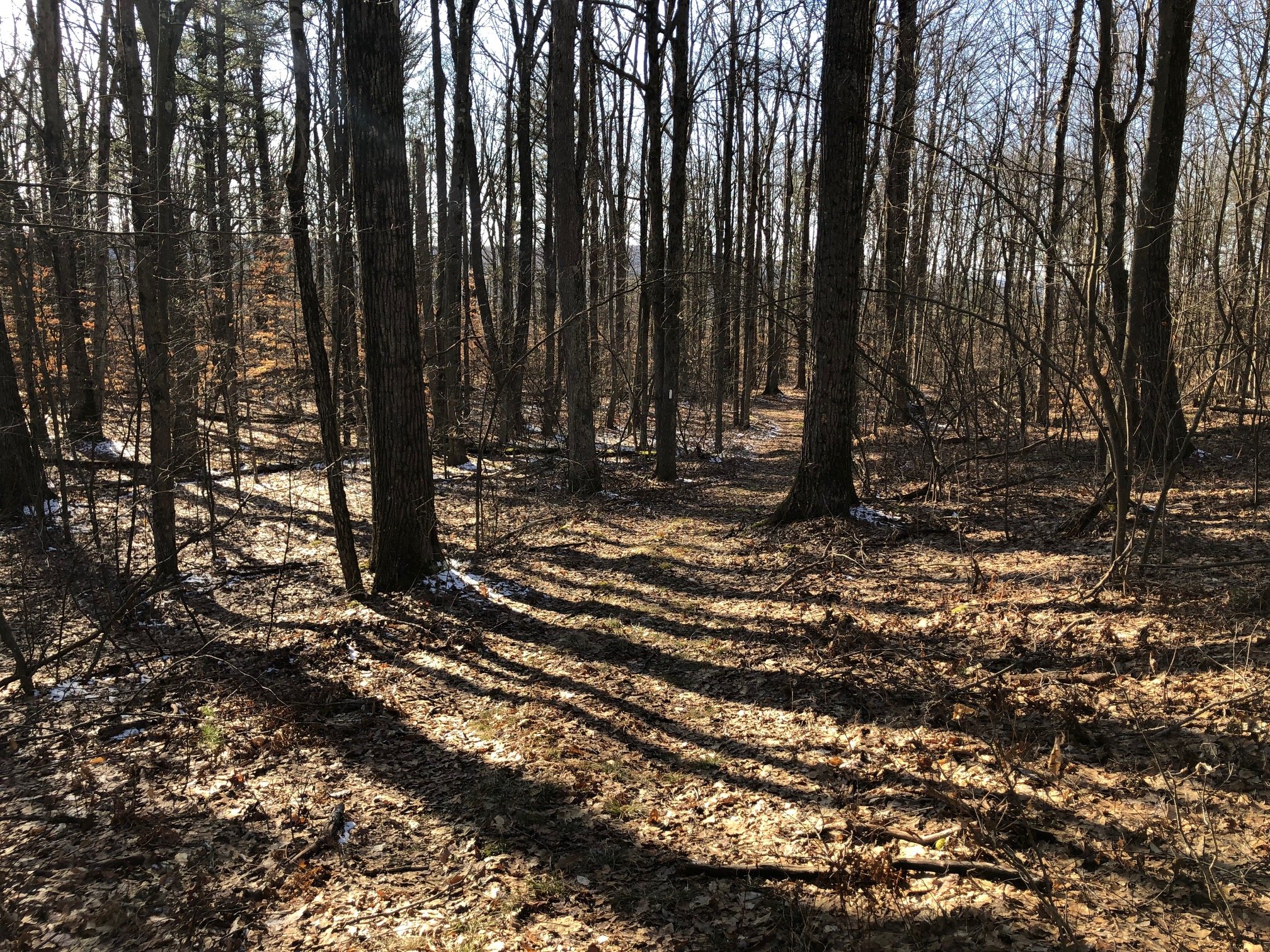
The trail levels off around 0.6 miles from the trailhead, and traverses a mostly flat plateau. In the winter, there will be some views of the surrounding hills through the trees. At 1.1 miles, the FLT reaches a junction with the blue-blazed trail. Here, keep to the right of the fork and follow the blue blazes.
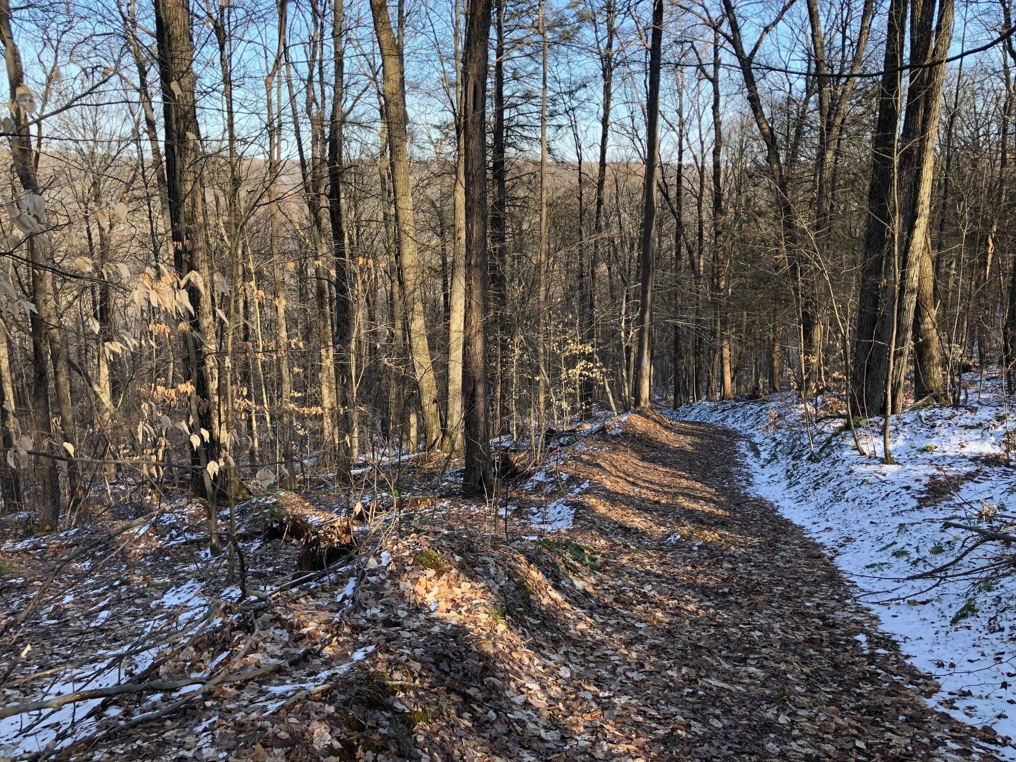
The trail climbs gradually to the top of the plateau, but then descends steeply, back toward the valley. Along the way, it passes the same spur trails that connect to the main FLT. Just stay to the left of these intersections and keep going downhill. At 1.8 miles, the blue trail reaches the first junction with the FLT, completing the loop. Turn left and follow the trail to the parking area on Coddington Road. Total distance for this hike is 1.8 miles with 650 feet of elevation gain.
The descent of this loop is just as steep as the ascent!
