English Loop Trail
This loop on the Finger Lakes Trail system features moderate climbs out of the scenic Daisy Hollow, views of the surrounding hills, and a side trail to some mossy cascades.
Map of the English Loop
You can navigate on this route using the downloadable AllTrails map.
The trailhead for this hike is located on Daisy Hollow Road, north of Harford. The GPS coordinates are 42.46315, -76.23242.
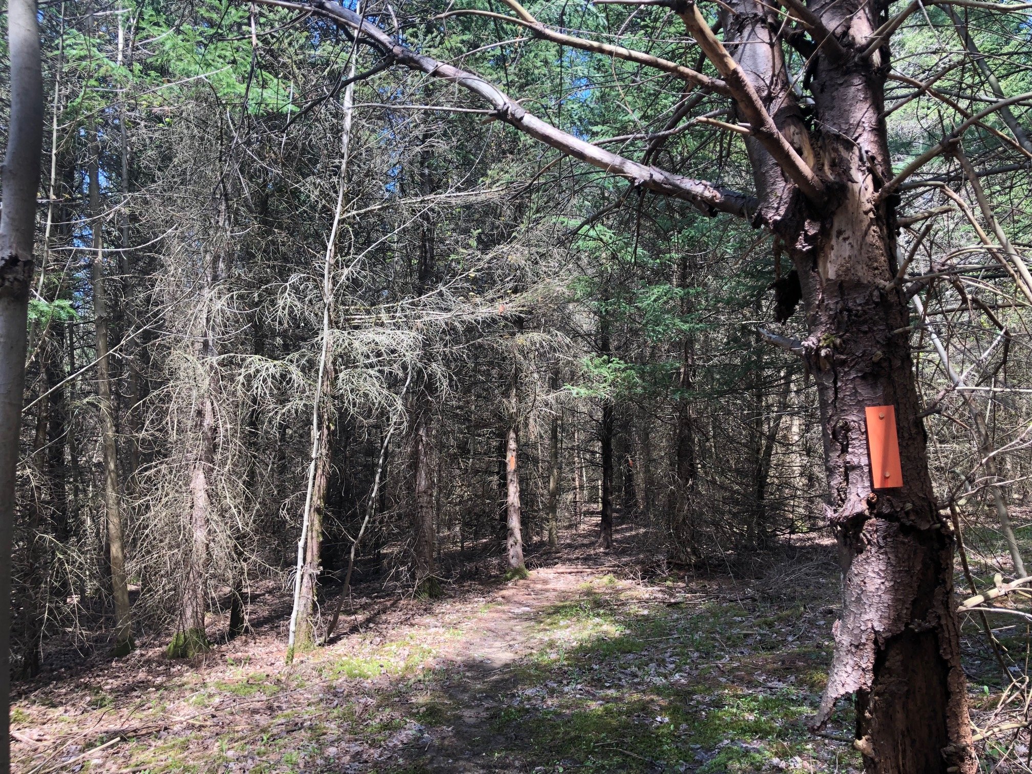
From the trailhead (1400’), follow the white-blazed Finger Lakes Trail westbound until the creek crossing. Here, turn left to follow the orange-blazed Spanish Loop Trail which crosses the road shortly after. 100 feet after the road crossing, the trail reaches the first intersection with the red-blazed English Loop Trail. Turn right here and follow the red blazes uphill. You will pass by a number of marked spur trails with various blaze colors, but for this hike, stick to the red-blazed trail.
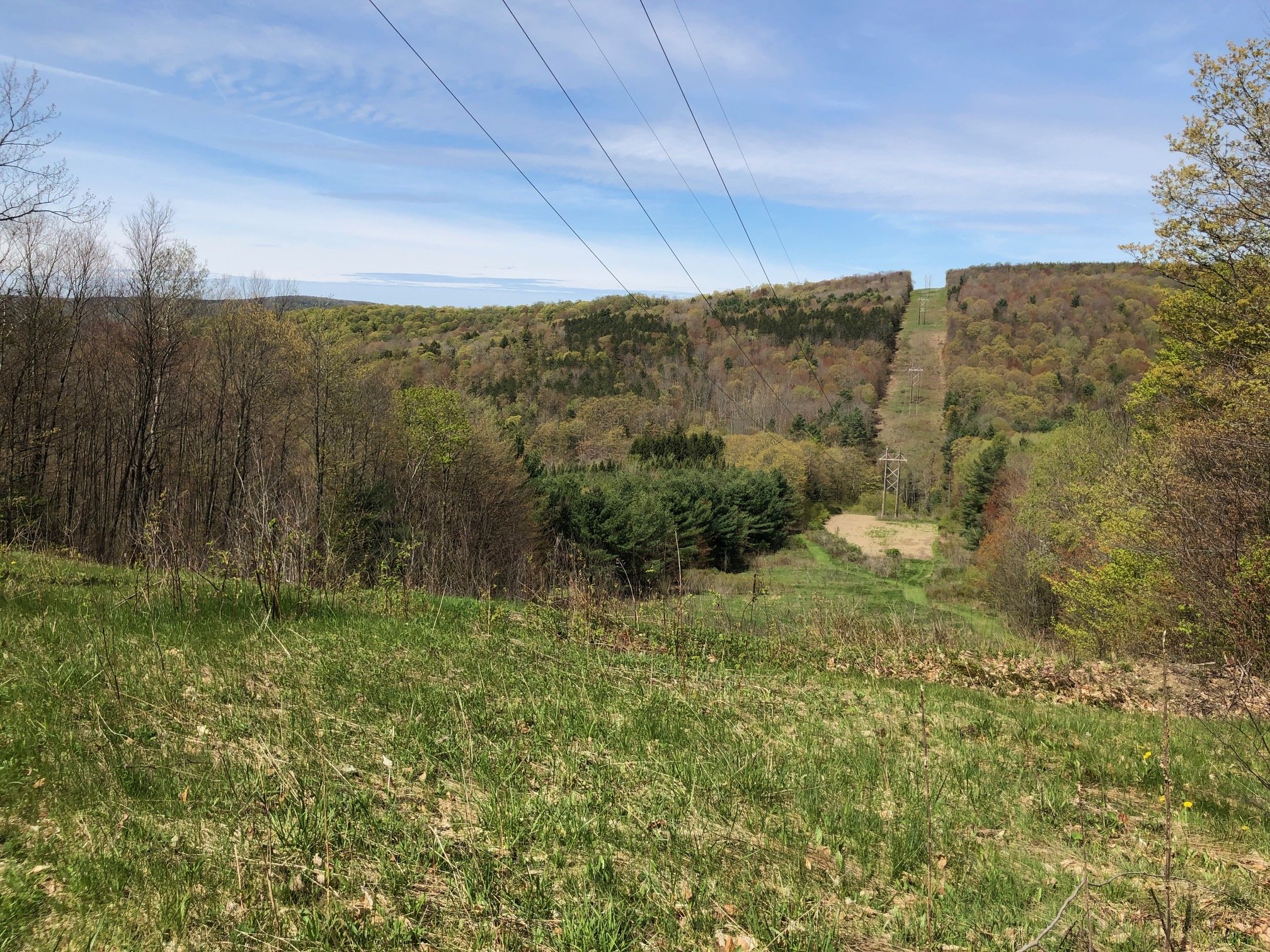
After another intersection with the Spanish Loop at 0.3 miles (continue straight through the intersection), the trail passes through a powerline clear-cut area, running parallel to the powerlines as it ascends out of the valley. At 0.5 miles, the trail reaches a junction with the blue-blazed Irvin Trail. To the right side of this junction is a nice view of the surrounding hills. Although it may not seem intuitive, this next portion of the English Loop is actually conjoined with the Irvin Trail, so you’ll need to turn left and follow the blue blazes for the time being.
Irvin Trail viewpoint
About 200 meters later (elevation 1720’), you’ll reach the most confusing intersection of the entire hike. It’s essentially a four-way intersection where you’ll need to stay to the far left to rejoin the red-blazed English Loop. If you end up following the orange blazes of the Spanish Loop instead, you’ve gone the wrong way. The English Loop crosses the Spanish Loop two more times; just keep your bearings and follow the red blazes. You’ll pass a bivouac area along the way.
At 1.3 miles, you’ll come to one of the highlights of this hike. The new yellow-blazed Cristina Springs Trail leads a short distance to the right of the English Loop to a picturesque mossy cascade. A great optional side trip for those who like to explore!
Cristina Springs
At 1.6 miles, the trail reaches its eastern terminus at the Spanish Loop Trail. Despite all of the previous warnings not to take this trail, you will now need to follow it back to the trailhead to complete the loop. Stay to the right side of the intersection and follow the orange blazes. You’ll intersect with the same spur trails you passed earlier, but just stick to the orange blazes if you don’t feel like exploring those (you could spend multiple hours exploring the various loops and spurs here). After a long descent, you’ll reach the trailhead on Daisy Hollow Road. Total distance for this hike is 2.7 miles with 450’ elevation gain.


