Finger Lakes Trail to Havington Hill View
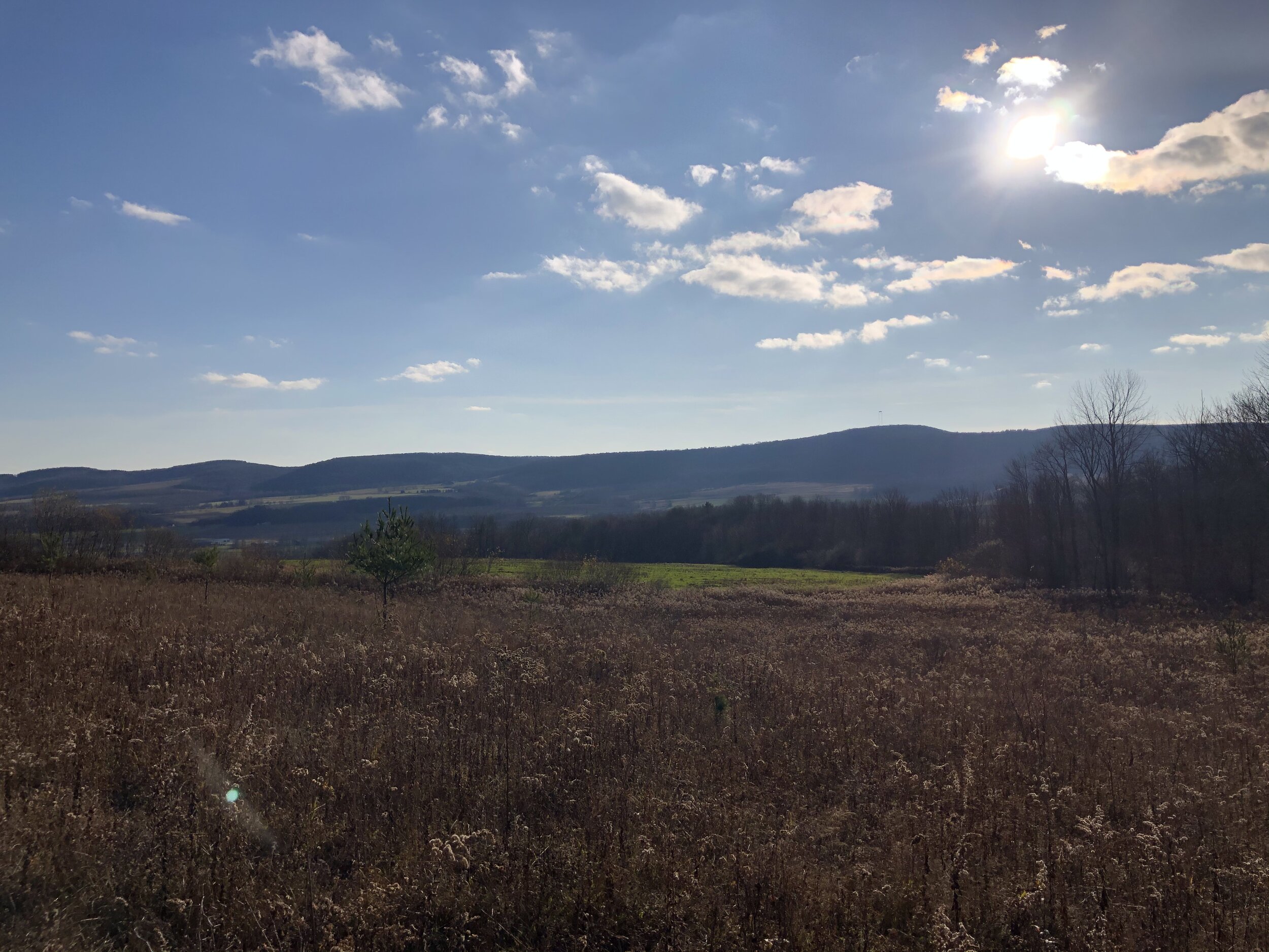
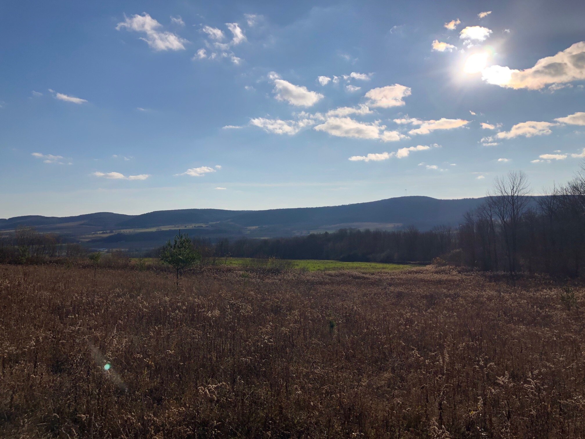
This hike is the definition of underrated. Despite being minutes away from Dryden and not far from Ithaca, it barely receives any traffic. Hikers will be rewarded with two stunning views of Dryden Lake and the foothills of Hammond Hill State Forest.
Map of the out-and-back hike
To navigate on this route, download the AllTrails map linked here.
The trailhead for this hike is located at the Jim Schug Trail parking area on Lake Road. From Dryden, follow NYS Route 38 south for 3 miles. Turn left on Purvis Road and follow it to a T-intersection with Lake Road. Turn left on Lake Road and follow it 0.6 miles to the parking area on the left. The GPS coordinates are 42.454488, -76.261909.
From the parking area (1190’), follow Lake Road northbound. There should be white FLT markers along the way. Turn right after 0.3 miles into a field, marked by a yellow FLT sign. Continue to follow the white blazes across the field and towards the hill, keeping the fence on your left. This entire hike is on private property, so hikers must stay on the trail at all times.
After crossing the field, the trail begins climbing Havington Hill. Although there are switchbacks to ease the climb, the trail gets steep at times. At 1.0 miles from the trailhead, the trail reaches the summit of Havington Hill (1640’). There are nice views when the trees are bare.
After reaching the high point, the trail descends on an old woods road, but then leaves the road to descend on switchbacks. Nice views remain through the trees. At 1.4 miles, the trail emerges into a field with a panoramic view of Dryden Lake and Hammond Hill State Forest across the valley.
From the viewpoint, turn left and follow the edge of the field. The trail soon dips down to a brook crossing and follows the brook upstream with a mellow gradient. At 1.8 miles (1515’), the FLT arrives at a junction with the blue-blazed Field View Spur Trail. Turn right and follow this short trail 0.1 miles to another panoramic view. After stopping to soak in the scenery, retrace your steps to the trailhead the same way. Total distance for this hike: 3.6 miles RT with 650 feet of elevation gain.


