Finger Lakes Trail/NCT: Robinson Hollow
While every hike on this site is considered underrated, this one doesn’t get nearly enough attention for what it’s worth. Despite being close to Ithaca, offering a scenic camping spot, steep climbs, and a babbling brook, this section of the Finger Lakes/North Country Trail barely receives any traffic, even compared to other underrated spots on the 550-mile trail.
Map of the Robinson Hollow out-and-back
You can navigate on this route using the downloadable AllTrails map, linked here.
The starting point at this hike is located at the FLT parking area on Robinson Hollow Road, about 0.25 miles off Route 79 in the town of Richford. One can also choose to park at the other end of the out-and-back, on Harford-Slaterville Road. The GPS coordinates are 42.38357, -76.27219.
From the trailhead (1315’), follow the white-blazed Finger Lakes/North Country Trail uphill on an old woods road. The first 0.5 miles of this route is a calf-burner, climbing steep slopes on the old road. The trail will make a few switchbacks - just look for the white blazes. Eventually, the trail will change to a single track path, leaving the old woods road. The trail levels out for a bit (1680’) but soon begins a steep descent into one of the “hollows” of Robinson Hollow State Forest. At 0.9 miles, it crosses a brook and reaches a junction with a blue-blazed spur trail on the right. This short trail leads to the Kimmie Lean-To and bivouac area.
Turn left and continue following the FLT/NCT. The trail parallels the stream for the next 0.75 miles and often offers scenic views down into the hollow. Eventually, it crosses the brook again and begins a steady ascent, nowhere near as steep as the first. The forest will open up as you gain elevation. After passing a small clearing on the left, the trail swings right at 2.1 miles. It passes through a beautiful deciduous forest which is a highlight of the route, especially in the fall.
At 3.0 miles, the trail passes over the high point of the hike (1940’). It then descends steadily until Harford-Slaterville Road at 3.6 miles, which is the turn-around point for this hike. Retrace your steps back to Robinson Hollow Road. Total distance for this hike: 7.2 miles RT with 1,355 feet of elevation gain.
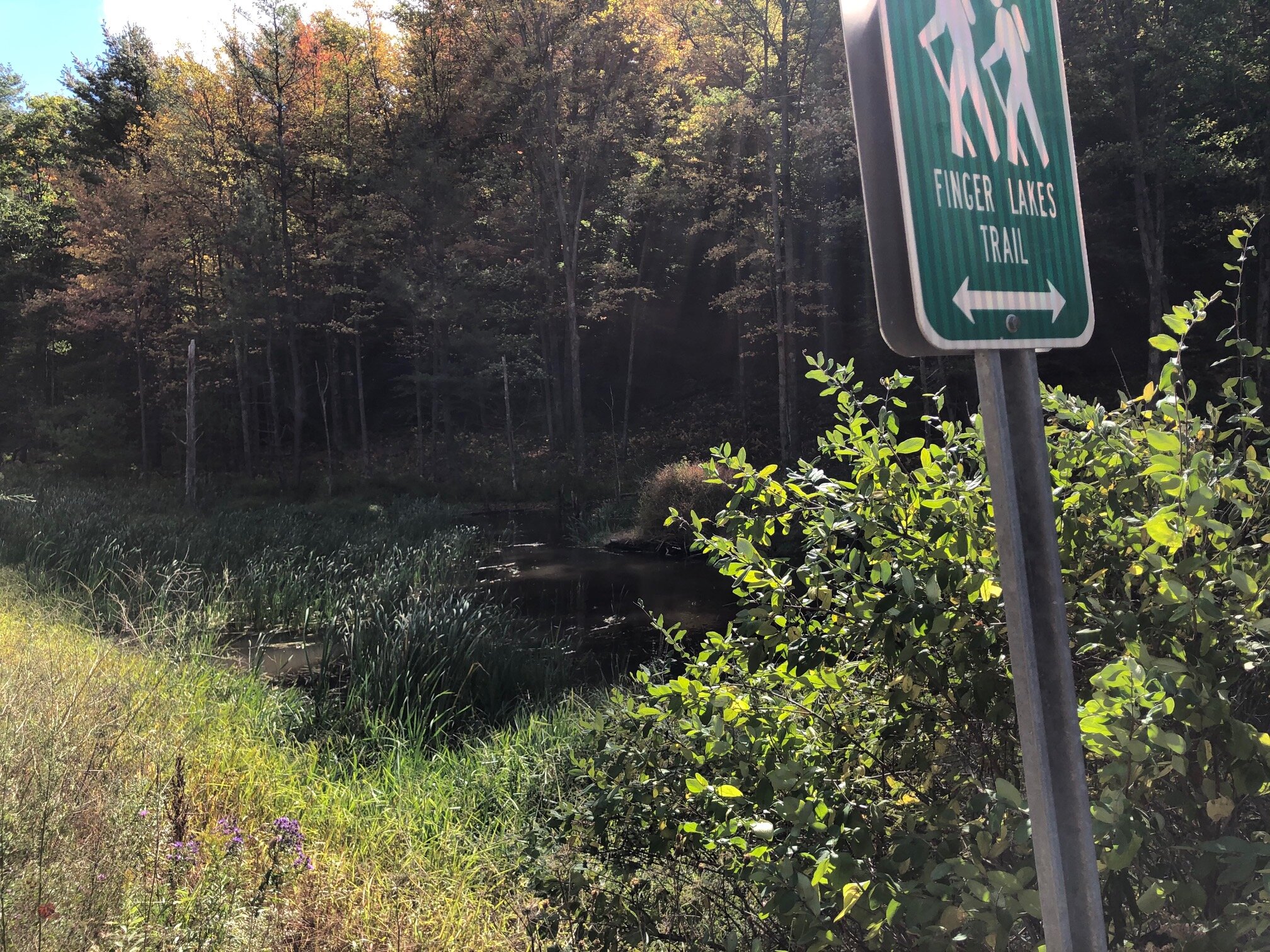
Parking area and beaver pond on Harford-Slaterville Road


