Jenksville State Forest Loops
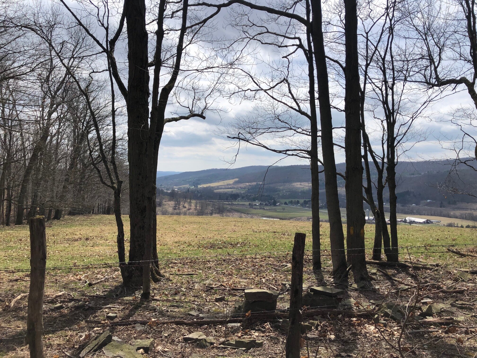
Perched on top of a hill between Owego Creek’s two branches, this state forest offers an endless number of hiking opportunities for all abilities - this route is only a suggestion. The loop utilizes two areas of the state forest: the central portion which has most of the loop opportunities, and the western portion, which offers a nice view overlooking the valley of Owego Creek’s West Branch.
Map of the recommended loop
You can navigate on these loops with the downloadable AllTrails map.
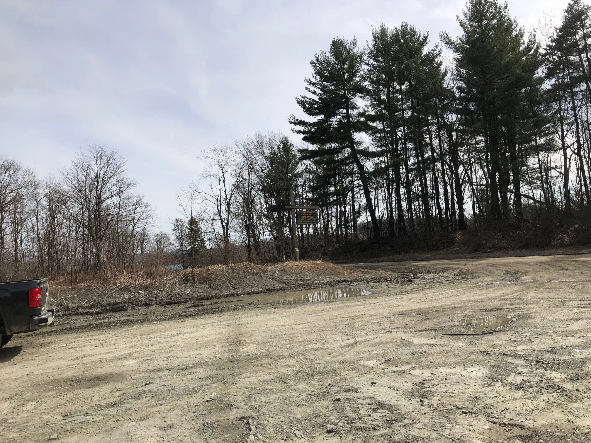
The trailhead for this hike is located at the large DEC parking lot on Allison Hill Road. The GPS coordinates are 42.27136, -76.21426.
Parking area
From the trailhead (1575’), take the trail at the end of the parking lot through the clearing, into the forest. The trail approaches a junction with a kiosk for the state forest. Continue straight, following the blue “Trail 1” DEC disks. Continue on this wide trail for 0.2 miles until it reaches a Y-intersection. Take the left side, which is the Yellow #1 trail (marked appropriately with disks). Continue following Yellow #1 for 1.1 miles. It passes the Yellow #2 and Yellow #3 trails along the way; the trail turns left at both intersections. Eventually, the trail arrives at a T-intersection. Turn left here and follow the Yellow #4 trail.
Follow this trail for 0.2 miles until another intersection. You may notice that Yellow #4 markers go both directions from here; this part is a mini-loop so you may choose which direction to go, they both end up back at this intersection.
Yellow #4 trail
In any direction, the trail arrives at an overlook of the Owego Creek Valley 0.5 miles later. Please stay on the trail here as the field is on private property. Continue on the trail and loop back to the mini-loop intersection.
From here, proceed 0.2 miles back to the T-intersection from before. You may now retrace your steps on the Yellow #1 trail back to the blue trails or turn left and take the Yellow #3 trail for a scenic detour. Turning left on Yellow #3, the trail follows a ridge with a few short climbs for 0.6 miles before heading downhill to meet the Yellow #1 trail again. Continue straight here and follow the Yellow #1 trail to the next intersection at the Yellow #2 trail 0.4 miles later.
From this intersection, follow the Yellow #2 trail uphill. You will soon arrive at a four-way intersection with the Blue #2, #3, and #6 trails. There isn’t a right or wrong way to go from here but turn left on the Blue #6 trail to follow this guide. It loops back around to the Blue #3 trail in 0.4 miles. Turn right on the Blue #3 trail and turn left on the Blue #5 trail at the next intersection. Continue on this trail for 0.3 miles.
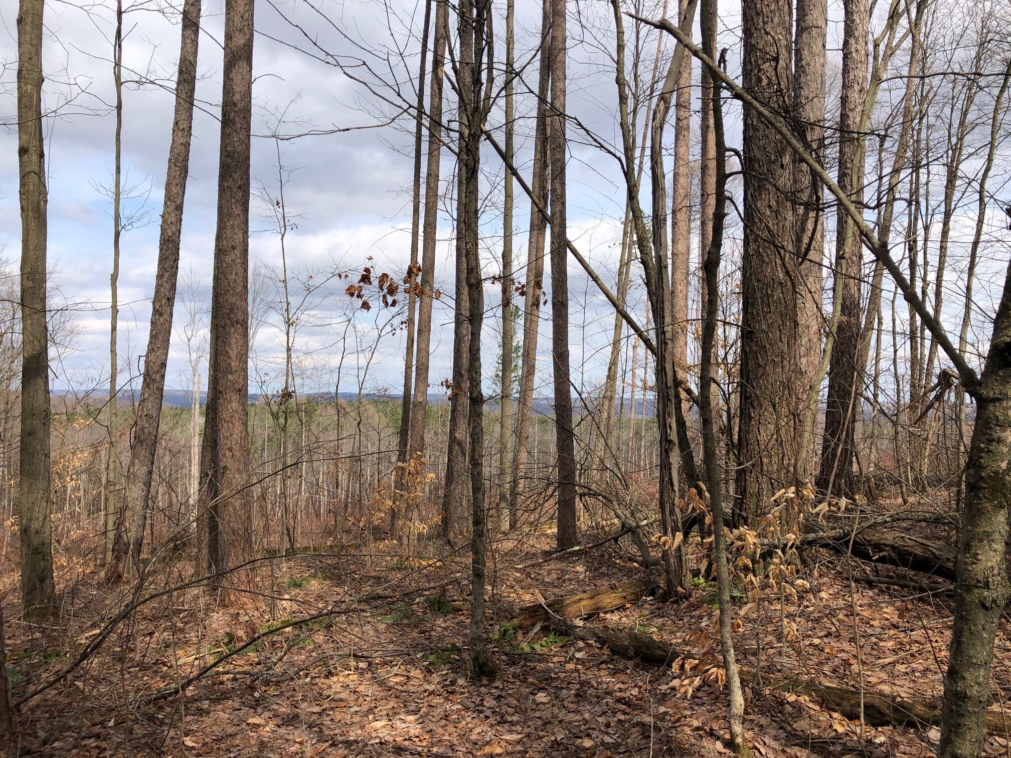
The Blue #5 trail loops back around to the Blue #2 trail, pretty close to the four-way intersection from before. Turn left on Blue #2 for a moment but then turn left again on another trail, Blue #4. This trail follows the top of a hill next to a clear-cut section of forest and offers some nice views.
0.4 miles from the Blue #2 intersection, Blue #4 arrives at the wide Blue #1 trail from the beginning of the hike. Turn left and follow the trail downhill. 0.1 miles later, another wide trail, Blue #7, comes in from the left. You may either continue on the Blue #1 trail back to the parking area or turn left on the Blue #7 trail for a more scenic detour (doesn’t add much mileage). Take the Blue #7 trail for 0.1 miles until a four-way intersection with Blue #3. Turn right and follow the Blue #3 trail as it winds up a hill, eventually looping back to Blue #1. Continue straight on Blue #1, passing some fields on the left before arriving back at the kiosk and parking area. Total distance for this hike: 5.8 miles with 615 feet of elevation gain.


