Hammond Hill Radio Tower
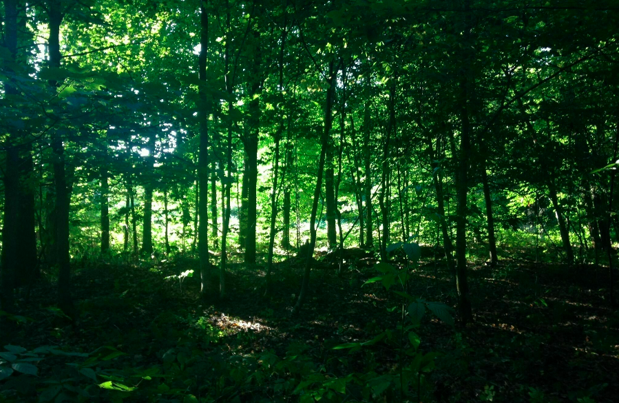
This forested hike in Hammond Hill State Forest offers the chance to witness the natural beauty of this forest without having to deal with mountain bikers on the trail system. This loop is created by combining the Finger Lakes Trail with the red-marked multiple-use trail.
Map of the Radio Tower Loop
Link to step-by-step RunGo directions, which can be used in real-time on the trail with the RunGo app. You can also navigate using this trail’s AllTrails map.
The parking area for this hike is on the shoulder of Harford-Slaterville Road. The GPS coordinates are 42.41942, -76.26438.
From the shoulder parking (1620’), head eastbound on the Finger Lakes Trail/North Country Trail, marked with white blazes (on the north side of the road). The trail ascends a small hill before leveling out on the hillside.
The trail then descends and crosses a small creek at 0.4 miles. You will then start ascending again on switchbacks, which can be quite steep at times. As you gain the ridge, you will pass a clear cut field on the right.
After a nice walk on the ridge that has nice views during the winter, you will pass the Hammond Hill Radio Tower on the right at 1.4 miles (2010’). The tower is not accessible from the trail.
After passing the tower, descend until you reach the junction with the Red #2 multiple-use trail. Turn right and follow the red discs and white blazes. You will pass through an evergreen forest before reaching another junction with the Yellow #5 trail at 1.9 miles. Turn left and follow the yellow discs.
Continue for 0.1 miles on the yellow #5 trail. Then, turn left onto the Red #1 trail (1870’). You will follow a snowmobile route before emerging into a forest access road. The red-marked trail continues off the left side of the road.
You will moderately ascend back up the hill until just below the ridge. The trail winds along the hillside with more great winter views to the west. Most of this section is still combined with the snowmobile route.
At mile 3.0, the trail leaves the snowmobile route to the left (1870’). Continue to follow the red discs (now the red #2 trail) for the next 0.25 miles. After this distance, you will be close enough to the FLT/NCT that a bushwhack to the east would only be a few hundred feet. Alternatively, you may follow the red #2 trail back to the FLT near the radio tower.
Once you reach the FLT/NCT, follow the white blazes back the way you came. You will eventually reach the trailhead on Harford-Slaterville Road. Total distance (with the small bushwhack) is 4.3 miles, with an elevation gain of 720 feet.


