Roy H Park Connector Trail
This is another little-known footpath in Tompkins County that connects the northern trailhead of Roy H. Park Preserve with the Hammond Hill trail system. This trail can be used on its own, or as an extension to the many loop opportunities in Hammond Hill State Forest. It’s also a great easy snowshoeing route in the winter.
Map of the Connector Trail
Link to step-by-step RunGo directions, which can be used in real-time on the trail with the RunGo app. You can also navigate with the AllTrails map.
The trailhead for this hike is located on Irish Settlement Road. There is a parking area on the east side of the road with a sign for Roy H. Park Preserve. The GPS coordinates are 42.43476, -76.32231.
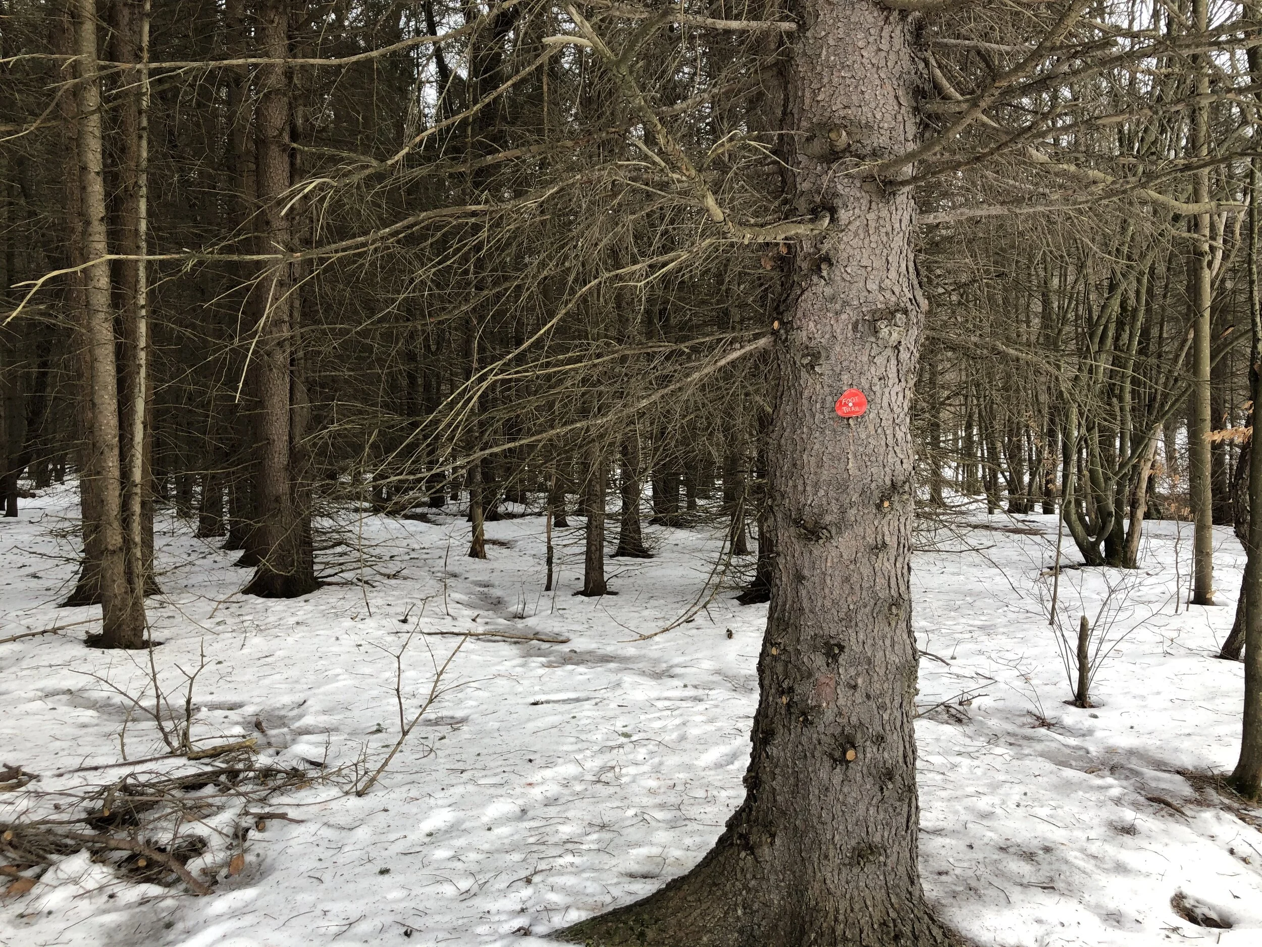
From the trailhead (1440’), follow the trail as it crosses a marshland on a boardwalk. There is a nice view of the hills to the south. After you cross the boardwalk, the trails turns left into the woods. Follow the red DEC trail discs.
Once the trail enters the forest, it follows a wide snowmobile route through some pines for the next 0.25 miles. Then, the trail leaves the snowmobile route to the left. This section is a bit easy to miss, make sure you follow the red discs.
Once the trail leaves the snowmobile route, it will start to gradually ascend. After a bit, it will leave the pines and emerge into a more open forest. You will continue to ascend gradually until you reach another snowmobile trail at 0.9 miles. At this point, the trail turns right and follows the snowmobile route as it crests the hill.
After a straight section, the trail reaches its eastern terminus at Hammond Hill Road at 1.25 miles (1680’). You may either continue hiking on the Hammond Hill multiple-use trails or retrace your steps to the trailhead. Total distance for this hike is 2.5 miles out-and-back with 270 feet of elevation gain.

