Woodchuck Hollow Loop
This loop takes advantage of the Finger Lakes Trail/North Country Trail in the scenic Woodchuck Hollow of Tuller Hill State Forest. Unlike neighboring Kennedy State Forest, there aren’t any formal loop trails, but the forest roads connect with the main FLT/NCT and provide pleasant hiking.
Map of the Woodchuck Hollow Loop
You can navigate on this route with the downloadable AllTrails map, linked here.
The trailhead for this hike is located on Carson Road, 1 mile east of Route 392. The GPS coordinates are 42.50324, -76.1121. From the road (1685’), follow the white-blazed Finger Lakes/North Country Trail into the forest.
FLT Parking on Carson Rd
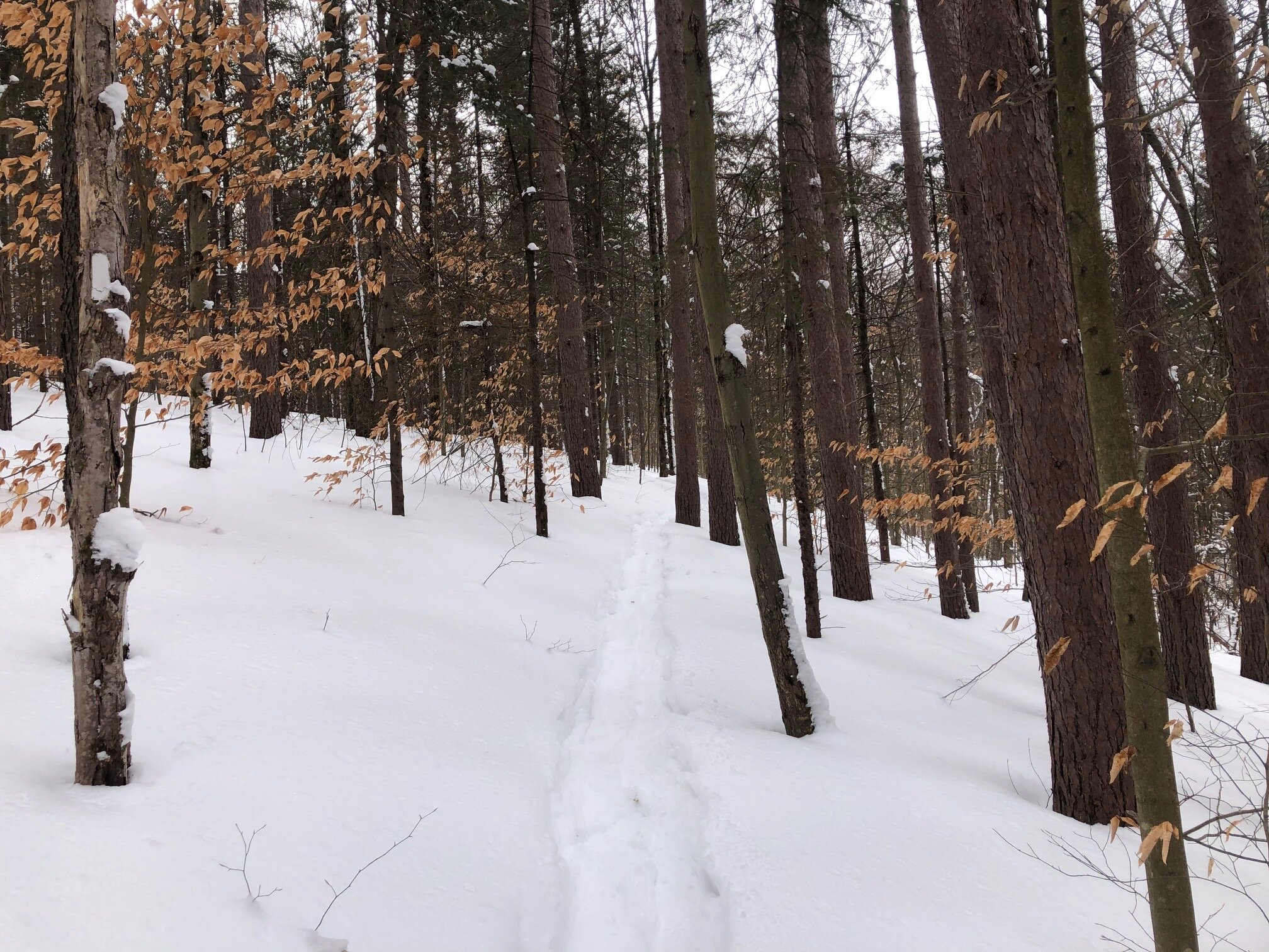
The trail begins a short, easy ascent up Snyder Hill. After reaching the high point at 0.4 miles near some clear-cut forest, the trail descends moderately, crossing a small stream along the way. It then runs along the bank of the stream before intersecting a blue-blazed connector trail at 1.0 miles. This trail connects to a forest road and is part of this loop hike. These instructions follow the loop clockwise, first taking the FLT/NCT through Woodchuck Hollow, then returning via the Connector Trail.
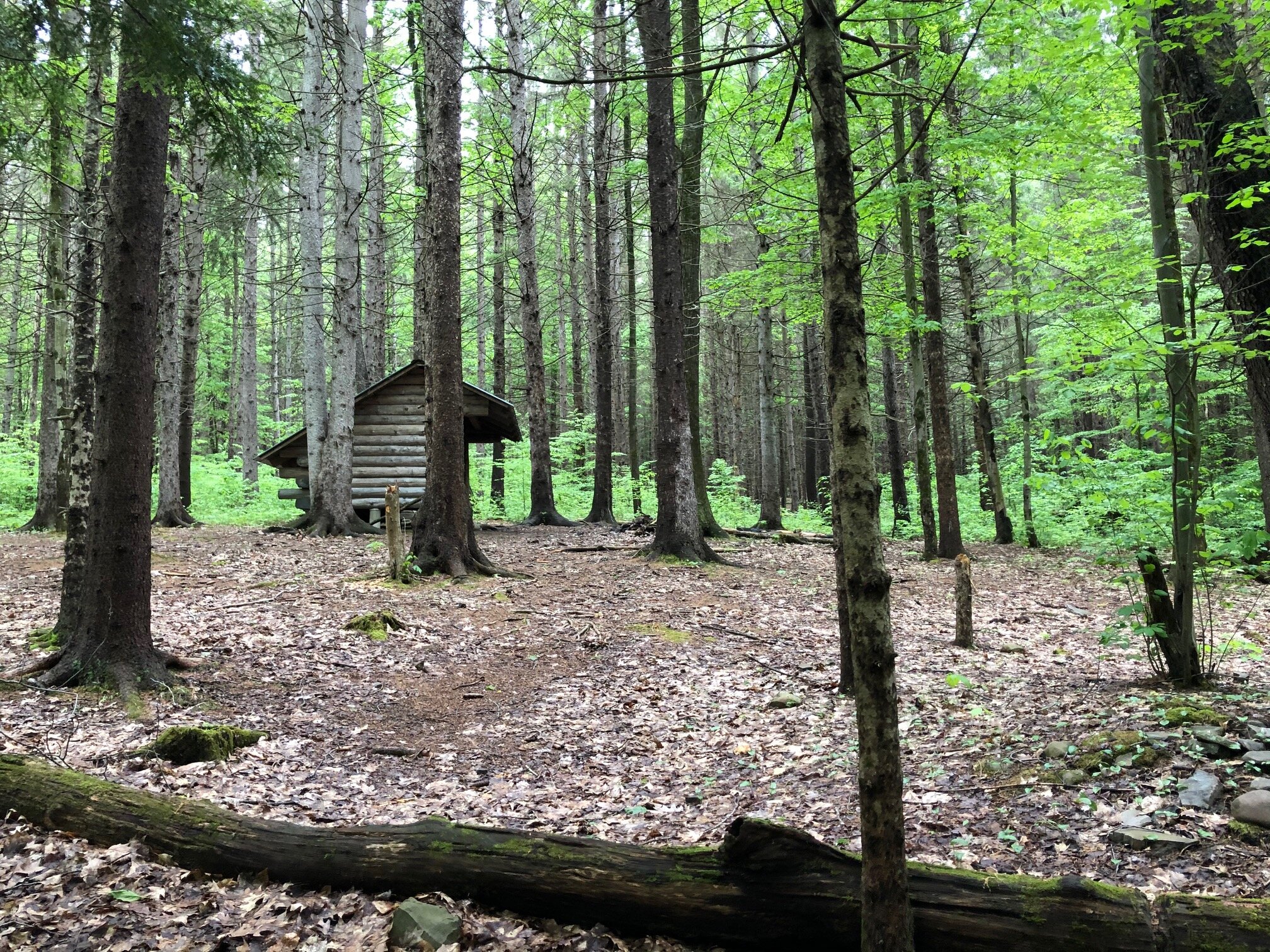
The FLT/NCT continues to descend, still keeping the stream on the left. The trail is hard to find in some spots - just look for the white blazes and stay next to the stream. Eventually, the stream drains into a larger creek, known as Neal Brook. The trail swings right and follows the larger creek upstream. Shortly after entering the hollow, the scenic Woodchuck Hollow lean-to is on the right at 1.5 miles (1490’). Still following the creek upstream, the trail winds through this picturesque hollow, with a few small waterfalls being visible from the trail. After a long, steady ascent up the hollow, another blue-blazed trail enters from the left. This is called the Neal Brook Trail and it connects to an access point on Pipeline Road.
Continue on the white-blazed FLT/NCT. After a short climb out of Woodchuck Hollow, the trail arrives at an intersection with Cortland Nine Road at 2.6 miles, a forest road in Tuller Hill State Forest. Turn right and follow the forest road, which is barely trafficked and still offers solitude. Follow this road for 0.7 miles of mostly level walking.
When the road begins to turn east (left), a small pull-off will be on the right side of the road. From here, there are two blue-blazed connector trails. The one on the left side leads to the top of the small stream while the right side leads to the Woodchuck Hollow lean-to. Follow the trail on the left side. Continue on this trail for 0.2 miles until it reaches the junction with the main FLT/NCT. Turn left and follow the white-blazed trail 1.0 miles back to Carson Road to complete the loop. Total distance for this hike: 4.6 miles with 790 feet of elevation gain.

