Bear Swamp Yellow Loop
This loop utilizes the trails in the eastern section of Bear Swamp State Forest. The trails here are well-marked, wide, and easy to use. The route described below is merely a suggestion, as there are many other combinations of possible routes within this state forest.
NOTE: Both hikes in Bear Swamp suggested here start at the same point and the map of both routes is combined. To take the yellow loop, turn right at the Yellow 3/Blue 3/Yellow 4 intersection, skipping the left turn toward the pond. This turn is marked on the map.
Map of the Bear Swamp S.F. Trails
You can navigate on this route using the downloadable AllTrails map.
The trailhead for this hike is located at the Bear Swamp Road parking area, just off Iowa Road in the town of Sempronius. The GPS coordinates are 42.73629, -76.28525.

From the trailhead (1575’), locate the state forest kiosk and follow the Yellow #1 trail north as it parallels the road. The trails in this state forest are marked with DEC disks that designate a color and number for each trail. Just past the kiosk, the Yellow #2 trail enters from the left. Turn left here, following the appropriate markers as the trail crosses the road.

The Yellow #2 descends slightly past the road, then begins a mellow ascent through the woods. At 0.8 miles from the trailhead, the trail crosses Bear Swamp Road once again. On the opposite side of the road, the trail continues but is now designated as Yellow #3. Follow this trail.
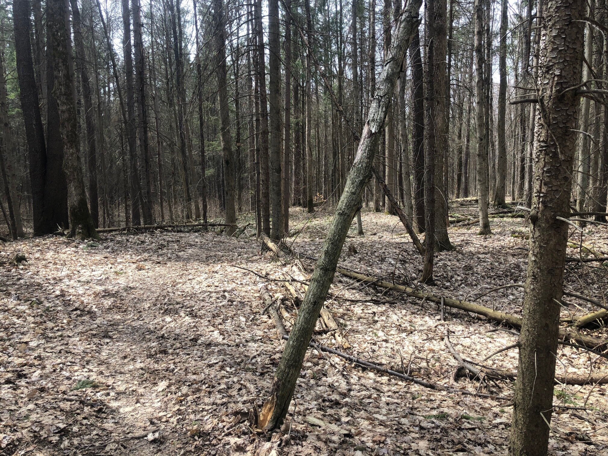
The Yellow #3 trail continues on mostly level terrain, winding through a coniferous forest. At 1.5 miles, the trail ends at a T-intersection (1745’). Turning left is the Blue #3 trail which eventually leads to Bear Swamp Pond while turning right is the Yellow #4 trail which connects to the rest of the yellow-marked trails. Turn right here.

T-intersection of Y3/B3/Y4
The Yellow #4 trail climbs a bit more before cresting the ridge above Skaneateles Lake. At 1.8 miles, the Blue #2 trail comes in from the left and the Yellow #5 trail continues straight. Follow the Yellow #5 trail, which is now more narrow but flat.

From here, a number of unmarked trails intersect the Yellow #5 trail, just look for the trail markers to stay on the the right trail. At 2.1 miles, the Yellow #9 trail is on the right. Straight ahead, the Yellow #5 trail crosses dirt Ridge Road. Turn right and follow the Yellow #9 trail.
This trail is wide and parallels Ridge Road for a bit, then turns off to the west. It turns south again before arriving at a T-intersection. Left is the Yellow #10 trail and right is a continuation of the Yellow #9 trail. Turn right here and follow the Yellow #9 markers. The trail continues to head south, soon crossing Ridge Road, where it is now designated as Yellow #8. After the crossing, make two right turns on the Yellow #7 and Yellow #1 trails, respectively. These two intersections are close together. Follow the Yellow #1 trail back to the parking area, which is 0.3 miles from the intersection with Yellow #7. Total distance for this hike: 3.6 miles with 300 feet of elevation gain.