Pharsalia Woods Loop
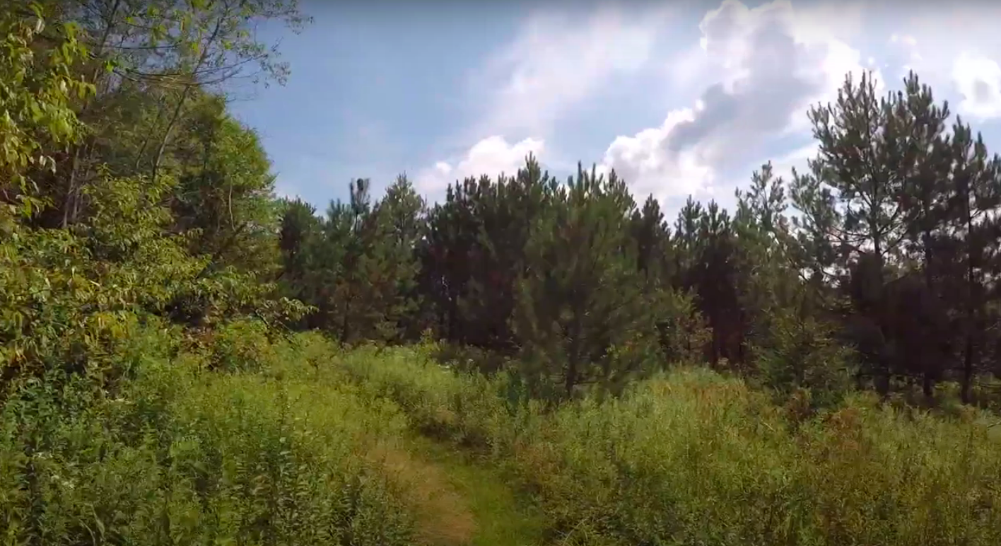
One of the largest state forests in New York, Pharsalia Woods is a place of wild beauty, with a large conifer population, open meadows, and old cisterns. The loop trail here is very easy, with less than 350 feet of elevation gain and the route is never technical.
Map of the Pharsalia Woods Loop
You can navigate on this route using the downloadable AllTrails map.
The trailhead for this hike is located where the FLT intersects the Old CCC Truck Trail, off of NYS Route 23 between Cincinnatus and Norwich. The GPS coordinates are 42.58964, -75.71244.
From the trailhead (1780’), briefly follow the CCC Truck Trail southeast, following the white blazes of the Finger Lakes Trail. Do not take the trail into the woods on the north side of the road. After a short walk on the road, the FLT leaves the road on the right side. Follow the white blazes.
Turn right off the CCC Truck Trail
The trail heads slightly downhill from here, losing elevation but it’s barely noticeable. At 0.5 miles, the trail crosses a small stream and passes a picnic table next to the crossing. Continuing on a flat, level path, the trail winds through a mixed forest before reaching a trail junction with a blue-blazed spur trail at 1.0 miles. This trail leads a short distance to the Pharsalia Woods Lean-To, a relatively new shelter on the FLT system. Continue straight here on the FLT.
Stream crossing and picnic table
Spur trail to the lean-to
Shortly after the lean-to, the FLT crosses dirt Fred Stewart Road at 1.3 miles. 500 feet later, the trail merges with the CCC Truck Trail once again. Continue on the road for 0.2 miles before the FLT leaves the road on the right side. After passing by some neat rock formations, the FLT reaches another trail junction at 1.8 miles (1780’). Left is the blue-blazed Loop Trail and straight is the main FLT. Turn left and follow the blue blazes.
Junction with the blue-blazed loop trail
After a short uphill, the trail crosses the CCC Truck Trail. After this point, there are a number of small clearings the trail passes through. Even though the trail weaves in and out of these clearings, it’s still well-marked and easy to follow. At 3.1 miles, another blue-blazed trail enters from the right, which leads to an access point on Coy Street. Take the left side of the junction here.
One of the clearings on the Blue Loop Trail
At 3.9 miles, the blue-blazed trail crosses Fred Stewart Road. After this crossing, picking up the trail can be somewhat difficult. There are some false paths that lead off the left side of the trail, so it’s generally a good idea to stay on the right side of these paths. At 4.4 miles, the blue-blazed trail reaches a T-intersection with the white-blazed FLT. Turn left here and follow the trail 0.1 miles back to the CCC Truck Trail access point. Total distance for this hike: 4.5 miles with 345 feet of elevation gain.


