Carpenter Falls Trail
Hiking in Cayuga County | Carpenter Falls Unique Area
This hike consists of two out-and-back trails that lead to the majestic Carpenter Falls, and the tranquil shore of Skaneateles Lake, respectively. It provides a wilderness-like experience similar to that of the Adirondacks or Catskills, but only a short drive from Skaneateles, Cortland and Syracuse.
Map of the Carpenter Falls Trail
You can navigate on this route using the downloadable AllTrails map.
The trailhead for this hike is located on Appletree Point Rd, 0.5 miles east of NY Route 41A. The GPS coordinates are 42.8136, -76.34125.
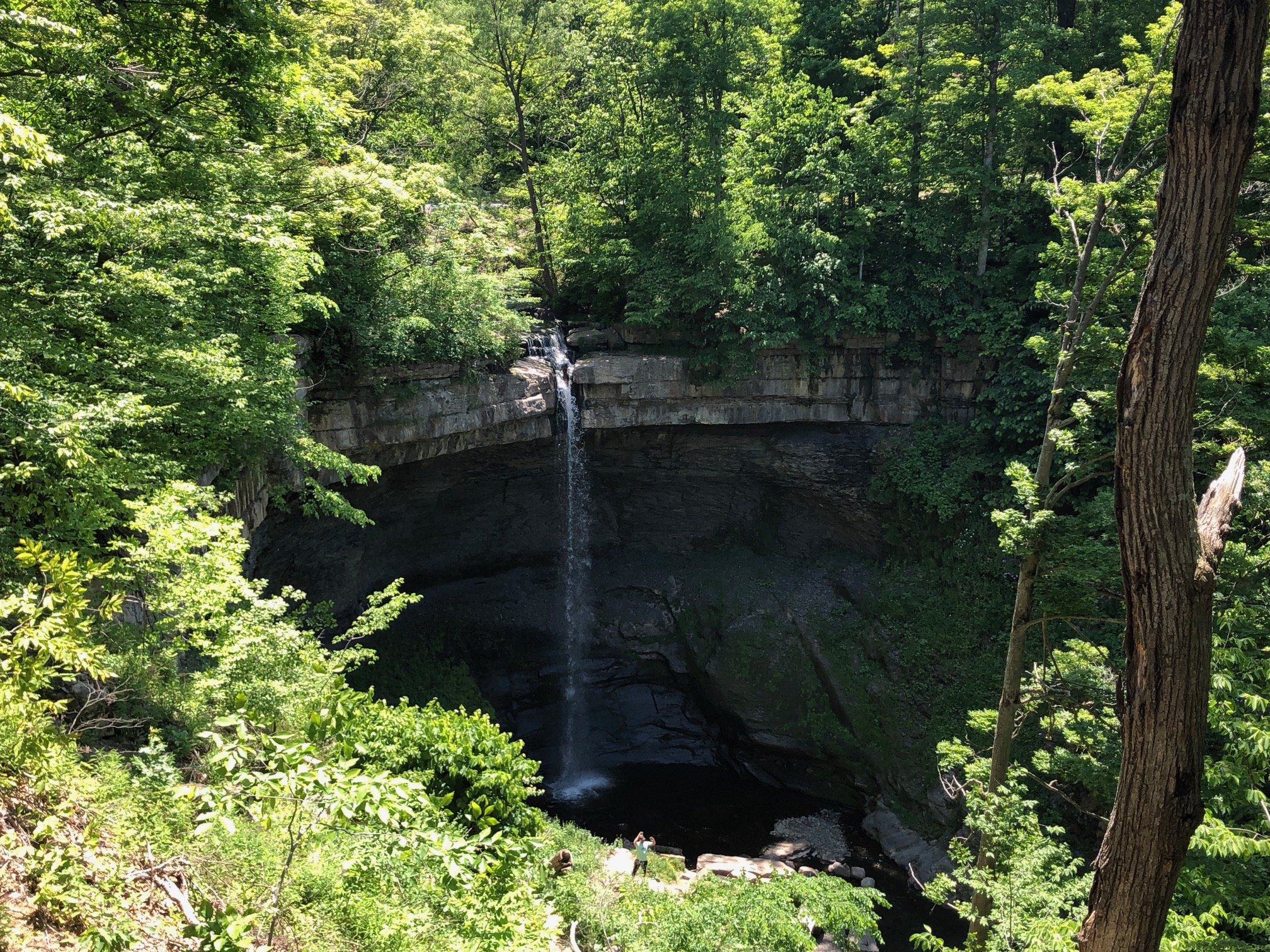
From the trailhead (1300’), locate the long wooden boardwalk and follow it as it travels parallel to the road. After 200 meters of pleasant, non-technical walking, you’ll arrive at the overlook of Carpenter Falls. The view from here is great and one could simply walk to the overlook and back, but there’s more in store for this hike.
Trailhead on Appletree Point Rd
Overlook of Carpenter Falls
Near the overlook, there is a staircase that descends steeply into the gorge. Here, you’ll find another vantage point of the waterfall, getting a better view of its sheer height. After taking in the views, return to the trailhead via the boardwalk to pick up the next leg of the route.
From here, take the trail to the left side, facing the parking lot. The trail surface is now dirt as it descends toward Skaneateles Lake, running parallel to the gorge. It’s mostly wooded with a steady descent for the next mile. After approximately 1 mile from the parking lot, the trail reaches a dirt road. Turn left here, and follow the signs for Skaneateles Lake. You should be able to see a short staircase that leads to the lake’s shore. After taking in the views here, retrace your steps to the trailhead. Total distance for this hike is 2.6 miles with 530’ elevation gain.
Skaneateles Lake


