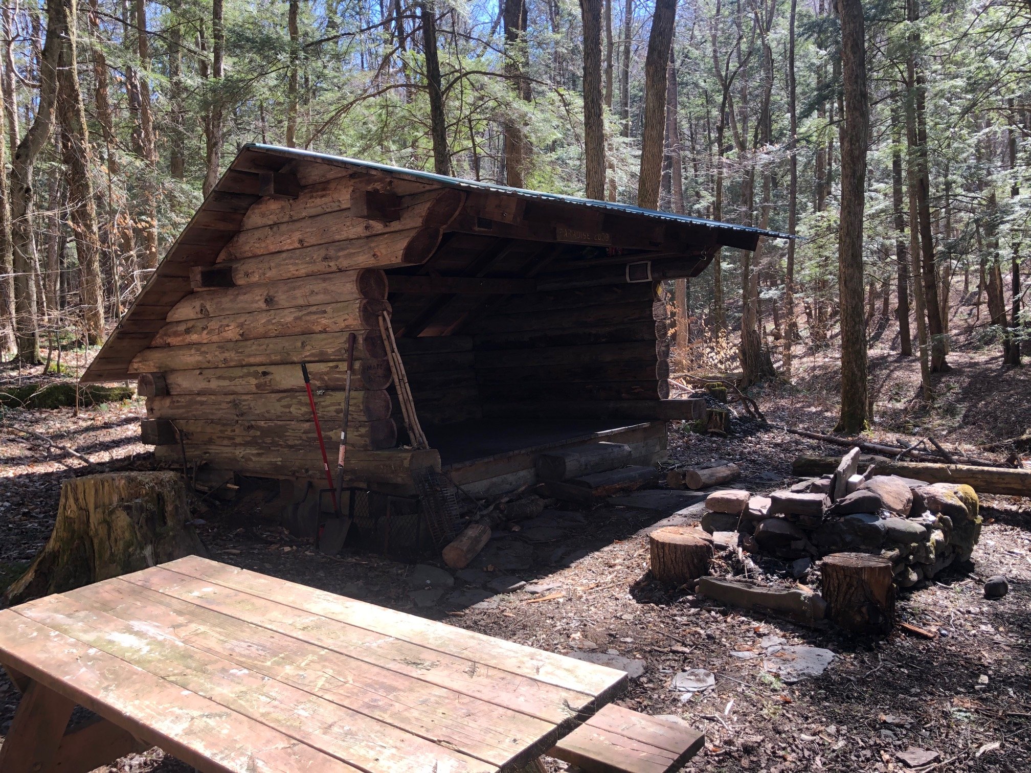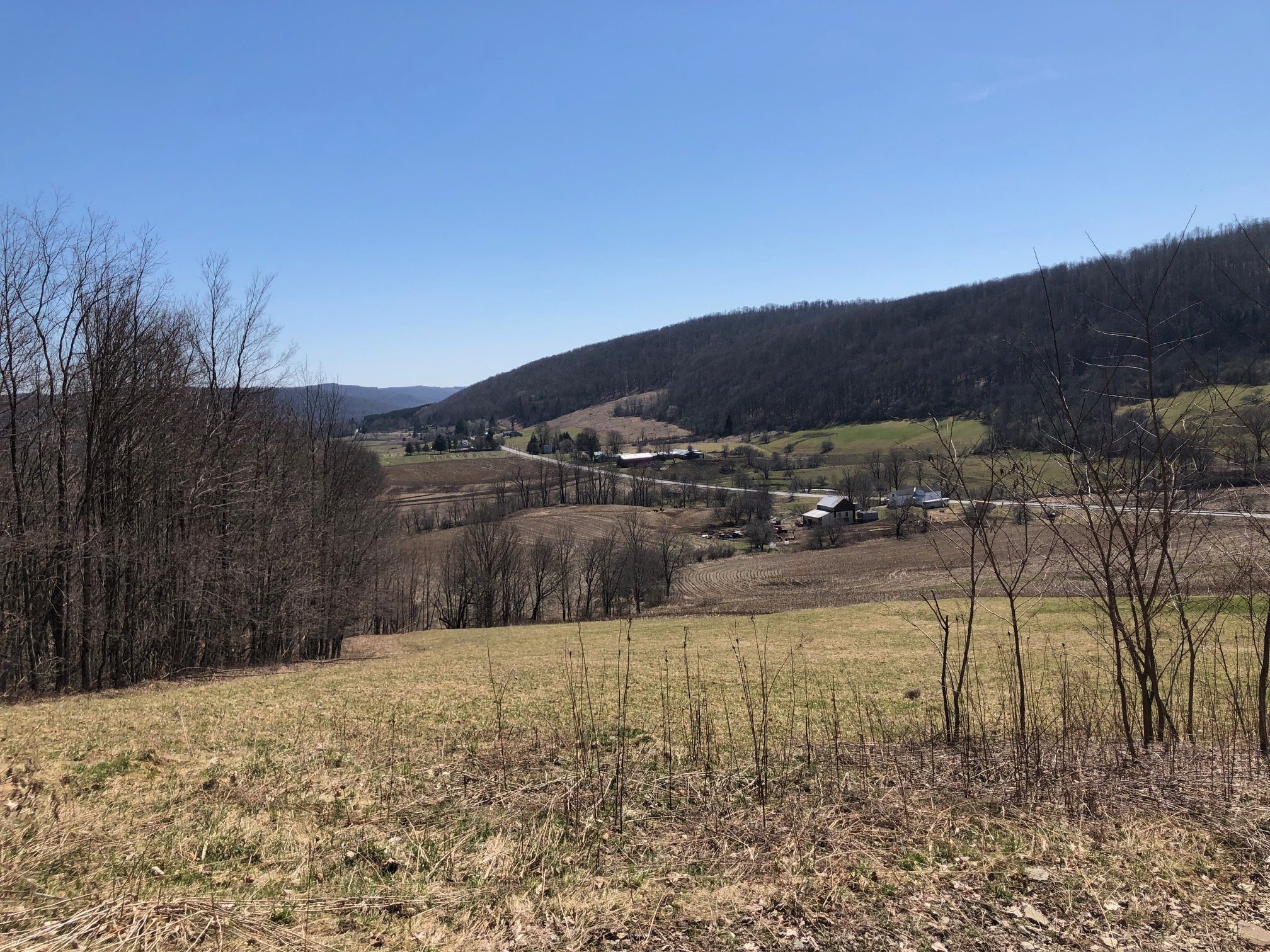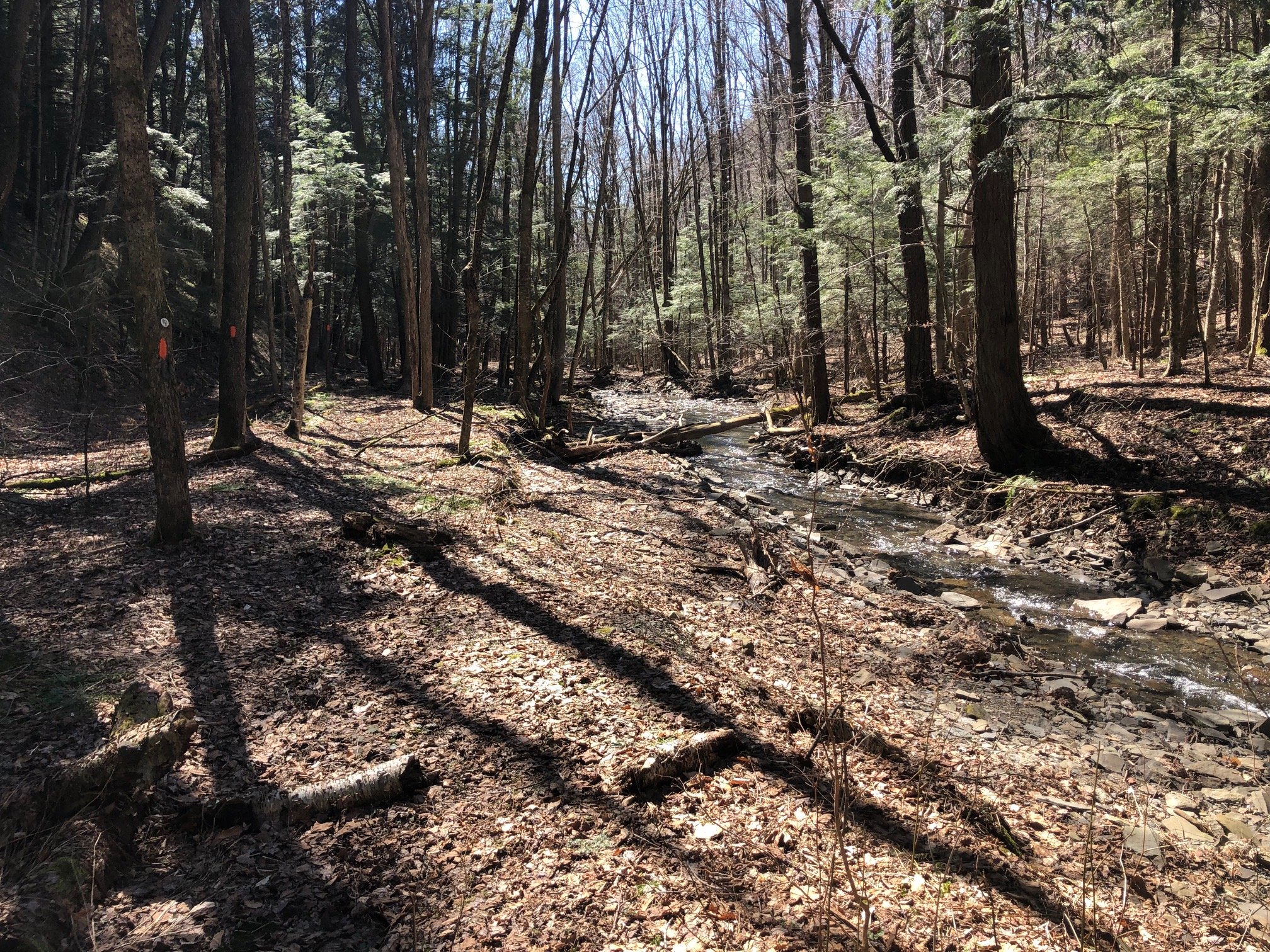
This section of the Finger Lakes Trail features scenic valley views, a deep gorge, and a picturesque lean-to. Despite being relatively short in length, it provides plenty of steep climbs and is full of interesting landscapes to entertain even the most seasoned of hikers.
Map of the Paradise Garden Lean-To Loop
You can navigate on this route using the downloadable AllTrails map.
The trailhead for this hike is located on Chenango County Route 12, about 3 miles south of Deruyter. The GPS coordinates are 42.71277, -75.88125.
From the trailhead (1310’), follow the white-blazed Finger Lakes Trail on an old woods road. The first portion of this hike offers excellent views with panorama of the surrounding hills. The trail follows the old woods road on a steady, sometimes steep climb, for about 0.7 miles. Eventually, the trail leaves the woods road to the left and passes by a trail register (be sure to sign it!).
Trailhead on County Route 12
At 1.2 miles, the FLT reaches the first junction with the orange-blazed lean-to trail (1630’). For now, continue straight on the FLT; you’ll be returning on the orange trail. After some more level walking, you’ll reach the second junction with the orange-blazed trail at 1.7 miles. Turn left and follow the orange blazes downhill.
The trail descends steeply into a ravine, and the footing can often be tricky here — watch your step! After the descent, the trail parallels a brook, heading downstream until reaching the Paradise Garden Lean-To at 2.3 miles (1500’).
Paradise Garden Lean-To
After the lean-to, the trail begins a steep ascent to rejoin the main Finger Lakes Trail at 2.6 miles. From here, turn right and retrace your steps to the trailhead. Total distance for this hike: 3.7 miles with 860’ elevation gain.


